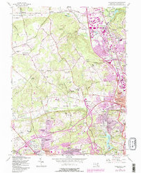
1957 Map of Cockeysville
USGS Topo · Published 1986About this map
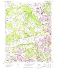
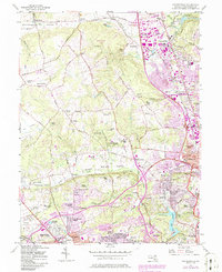
Worthington Valley and Spring Valley anchor this mid-century topographic view of northern Baltimore County, where suburban expansion meets long-standing rural estates. The landscape is defined by its educational and religious institutions, including the Sacred Heart Monastery, Maryvale Prep Sch, and St Timothys Sch. In the north, Cockeysville and Texas mark centers of local industry near the Beaverdam Run and the Conrail line, while the State Fairgrounds in Timonium signals the area's role as a regional gathering point.
Find a feature on this map
105 named features on this map. Tap any name to fly to it.
Don’t see what you’re looking for? This feature index may not catch every label — zoom into the map to look around manually.
Map Details
Editions of this 1957 Cockeysville Map
6 editions found
Other maps of this area

1892 · Ellicott
USGS Topo · 1:62,500

1894 · Ellicott
USGS Topo · 1:62,500

1894 · Baltimore
USGS Topo · 1:62,500

1899 · Baltimore
USGS Topo · 1:62,500

1900 · Parkton
USGS Topo · 1:62,500

1902 · Parkton
USGS Topo · 1:62,500

1904 · Baltimore
USGS Topo · 1:62,500

1905 · Westminster
USGS Topo · 1:62,500

1906 · Ellicott
USGS Topo · 1:62,500

1908 · Patapsco
USGS Topo · 1:125,000