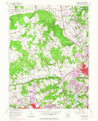
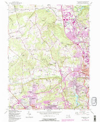
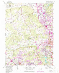
1957 Map of Cockeysville
USGS Topo · Published 1967About this map
The northern Baltimore suburbs and the Green Spring Valley are captured in this mid-century transition from rural estates to suburban development. The Pennsylvania Railroad corridor anchors the eastern settlements of Cockeysville, Timonium, and Lutherville, where the State Fairgrounds and a prominent Drive-in Theater signify the era's social hubs. To the west, the landscape remains more open, defined by the winding course of Jones Falls and the institutional grounds of Sacred Heart Monastery and Villa Julia Jr College.
Find a feature on this map
89 named features on this map. Tap any name to fly to it.
Don’t see what you’re looking for? This feature index may not catch every label — zoom into the map to look around manually.
Map Details
Editions of this 1957 Cockeysville Map
6 editions found
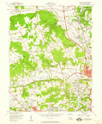
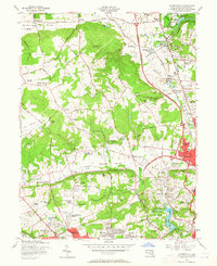
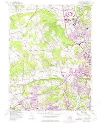
Other maps of this area

1892 · Ellicott
USGS Topo · 1:62,500

1894 · Ellicott
USGS Topo · 1:62,500

1894 · Baltimore
USGS Topo · 1:62,500

1899 · Baltimore
USGS Topo · 1:62,500

1900 · Parkton
USGS Topo · 1:62,500

1902 · Parkton
USGS Topo · 1:62,500

1904 · Baltimore
USGS Topo · 1:62,500

1905 · Westminster
USGS Topo · 1:62,500

1906 · Ellicott
USGS Topo · 1:62,500

1908 · Patapsco
USGS Topo · 1:125,000