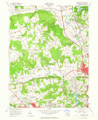
1957 Map of Cockeysville
USGS Topo · Published 1965About this map
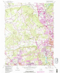
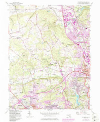
Worthington Valley and the surrounding Maryland hills reveal a post-war landscape in transition, where established estates and agricultural valleys meet the expanding suburban reach of Baltimore. The northern corridor is defined by the industrial and transport history of Cockeysville, Texas, and Ashland, where quarries and sand pits sit alongside the active Pennsylvania Railroad. To the south, the map details the residential growth of communities like Lutherville, Timonium, and Ruxton, situated near the waters of Lake Roland. The area is notably dense with educational and religious institutions, including the Maryvale Prep Sch, St Pauls Sch, and the Sacred Heart Monastery. Transport networks are in flux, showing the path of the Baltimore-Harrisburg Expressway cutting through the terrain alongside older thoroughfares like Falls Road.
Find a feature on this map
114 named features on this map. Tap any name to fly to it.
Don’t see what you’re looking for? This feature index may not catch every label — zoom into the map to look around manually.
Map Details
Editions of this 1957 Cockeysville Map
6 editions found
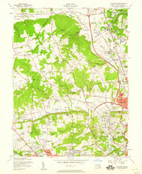
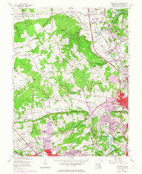
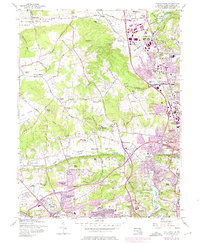
Other maps of this area

1892 · Ellicott
USGS Topo · 1:62,500

1894 · Ellicott
USGS Topo · 1:62,500

1894 · Baltimore
USGS Topo · 1:62,500

1899 · Baltimore
USGS Topo · 1:62,500

1900 · Parkton
USGS Topo · 1:62,500

1902 · Parkton
USGS Topo · 1:62,500

1904 · Baltimore
USGS Topo · 1:62,500

1905 · Westminster
USGS Topo · 1:62,500

1906 · Ellicott
USGS Topo · 1:62,500

1908 · Patapsco
USGS Topo · 1:125,000