Loading...
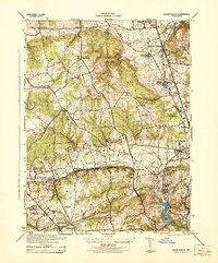
Loading map...1944 Map of Cockeysville
USGS Topo · Published 1944About this map
Pennsylvania railroad tracks bisect this 1944 survey of northern Baltimore County, tracing a corridor of industry and leisure from Pikesville to Cockeysville. The landscape is a mix of expanding residential developments like Towson and Ruxton, and institutional anchors such as the Masonic Home and Loyola High School. A notable wartime adaptation is visible at the Maryland State Fair Grounds, which functioned as a U.S. Engineers Depot during the conflict.
Find a feature on this map
48 named features on this map. Tap any name to fly to it.
Don’t see what you’re looking for? This feature index may not catch every label — zoom into the map to look around manually.
Map Details
Date Portrayed1944
Date Published1944
PublisherU.S. Geological Survey
Map TypeTopographic
Scale1:31680
Physical Dimensions17.9 x 21.5 inches
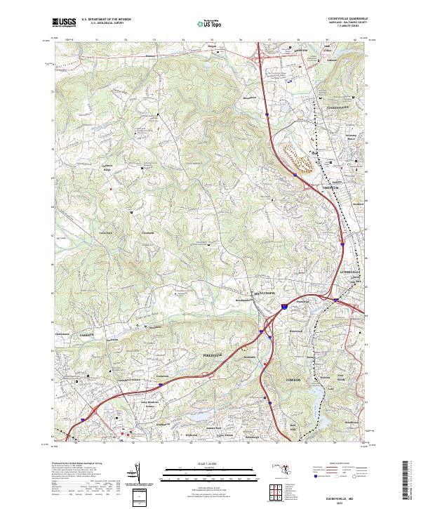
Editions of this 1944 Cockeysville Map
This is the sole edition of this map. No revisions or reprints were ever made.
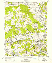
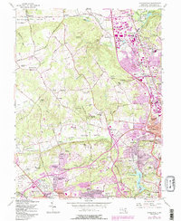
Historical Maps of Ruxton Village Through Time
4 maps found
Featured Locations
Source Details
SourceU.S. Geological Survey
CopyrightPublic Domain