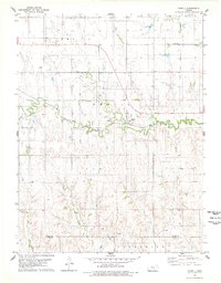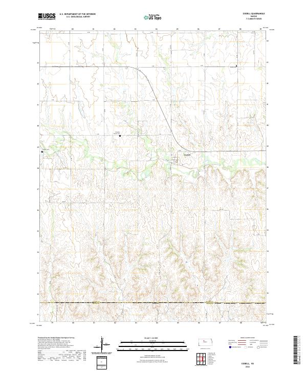
2022 Map of Codell
USGS Topo · Published 2022About this map
Codell sits at the center of this rural landscape in the southeastern corner of Rooks County, where the plains give way to the drainage of Paradise Cr. The map reveals a deeply rooted agricultural community defined by its cemeteries and section-line roads. High points like King Hill offer vantage points over the creek valleys, while the distribution of sites like Shiloh Cem, Paradise Center Cem, and Conger Cem suggests the historical locations of early prairie settlements and family farmsteads. The landscape is organized by a strict grid of named roads, including W RD and Z RD, which reflect the enduring Public Land Survey System that shaped the development of this Kansas frontier.
Find a feature on this map
22 named features on this map. Tap any name to fly to it.
Don’t see what you’re looking for? This feature index may not catch every label — zoom into the map to look around manually.
Map Details
Editions of this 2022 Codell Map
This is the sole edition of this map. No revisions or reprints were ever made.