2023 Map of Coloma
USGS Topo · Published 2023About this map
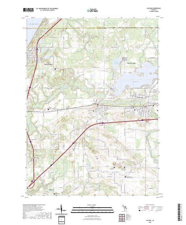
Coloma and Watervliet anchor this Berrien County landscape, situated where the Paw Paw River winds through agricultural and lakeside terrain. The area is defined by its recreation and transit history, from the shoreline of Lake Michigan in the northwest to the expansive waters of Paw Paw Lake. This survey captures a dense network of local cemeteries, including Saint Joseph Catholic Cem and Zion Evangelical United Brethren Cem, which offer significant value for genealogical research. The Watervliet Municipal Airport and the presence of major corridors like the Red Arrow Hwy highlight the region's importance as a transportation hub between the lake and the interior. Further south, the settlement of Millburg and small drainages like Yellow Creek and Ryno Drain reveal the intricate hydrological and rural settlement patterns of this corner of Michigan.
Find a feature on this map
88 named features on this map. Tap any name to fly to it.
Don’t see what you’re looking for? This feature index may not catch every label — zoom into the map to look around manually.
Map Details
Editions of this 2023 Coloma Map
This is the sole edition of this map. No revisions or reprints were ever made.
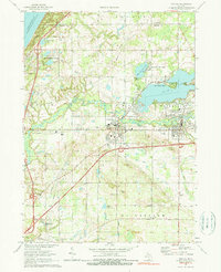
Historical Maps of Coloma Charter Township Through Time
Featured Locations
- Benton Charter Township, MI
- Coloma, MI
- Hagar Township, MI
- Watervliet, MI
- Lake Michigan Beach, Hagar Township