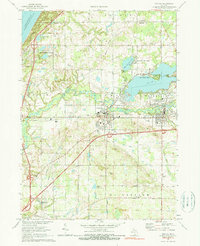
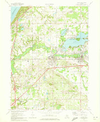
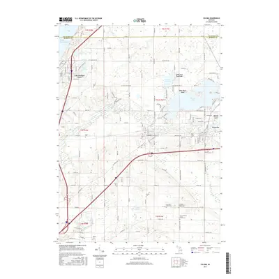
1970 Map of Coloma
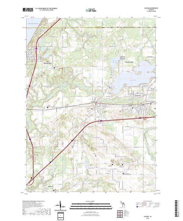
USGS Topo · Published 1990About this map
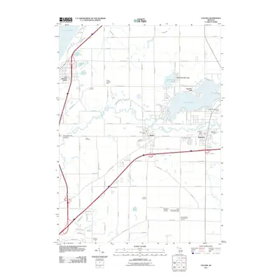
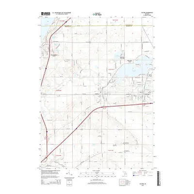
Paw Paw Lake dominates the central landscape of this Michigan sheet, serving as a hub for the communities of Coloma and Watervliet. By the late 1960s, the shoreline shows significant development, with Little Paw Paw Lake and Lake Michigan Beach reflecting the era's recreational growth along the Lake Michigan coast. The Paw Paw River winds through the heart of the region, paralleled by the Chesapeake and Ohio railroad and the Red Arrow Highway, tracing a vital transportation corridor that has historically linked these Berrien County settlements.
Find a feature on this map
56 named features on this map. Tap any name to fly to it.
Don’t see what you’re looking for? This feature index may not catch every label — zoom into the map to look around manually.
Map Details
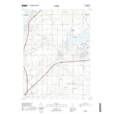
Editions of this 1970 Coloma Map
2 editions found
Historical Maps of Watervliet Through Time
6 maps found
Featured Locations
- Benton Charter Township, MI
- Coloma, MI
- Watervliet, MI
- Watervliet Township, MI
- Lake Michigan Beach, Hagar Township