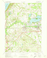
1970 Map of Coloma
USGS Topo · Published 1973About this map
The winding Paw Paw River serves as the central artery for this corner of Berrien and Van Buren Counties, connecting the inland leisure of Paw Paw Lake to the dunes of Lake Michigan. The twin towns of Coloma and Watervliet stand as established hubs along the Chesapeake and Ohio railroad line, their residential blocks punctuated by civic anchors like the High Sch and Hosp.
Find a feature on this map
51 named features on this map. Tap any name to fly to it.
Don’t see what you’re looking for? This feature index may not catch every label — zoom into the map to look around manually.
Map Details
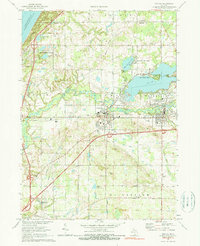
Editions of this 1970 Coloma Map
2 editions found
Other maps of this area

1927 · Hartford
USGS Topo · 1:62,500

1927 · Bangor
USGS Topo · 1:62,500

1927 · Benton Harbor
USGS Topo · 1:62,500

1927 · South Haven
USGS Topo · 1:62,500

1930 · South Haven
USGS Topo · 1:62,500

1930 · Benton Harbor
USGS Topo · 1:62,500

1931 · Bangor
USGS Topo · 1:62,500

1931 · Hartford
USGS Topo · 1:62,500

1943 · South Haven
USGS Topo · 1:62,500

1943 · Bangor
USGS Topo · 1:62,500