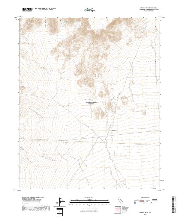
2021 Map of Colton Well
USGS Topo · Published 2021About this map
The Mojave National Preserve encompasses most of this landscape, where the high elevations of the Providence Mountains and Colton Hills give way to the broad alluvial plains of the Mojave Desert. This terrain is defined by its water scarcity, with critical desert water sources like Whiskey Spring, Domingo Spring, and Cave Spring tucked into the northern canyons. These springs historically served as vital waypoints for travel through the arid San Bernardino interior.
Find a feature on this map
20 named features on this map. Tap any name to fly to it.
Don’t see what you’re looking for? This feature index may not catch every label — zoom into the map to look around manually.
Map Details
Editions of this 2021 Colton Well Map
This is the sole edition of this map. No revisions or reprints were ever made.
Other maps of this area

1910 · Ivanpah
USGS Topo · 1:250,000

1912 · Ivanpah
USGS Topo · 1:250,000

1942 · Ivanpah
USGS Topo · 1:250,000

1942 · Amboy
USGS Topo · 1:250,000

1943 · Amboy
USGS Topo · 1:250,000

1947 · Kingman
USGS Topo · 1:250,000

1948 · Kingman
USGS Topo · 1:250,000

1954 · Needles
USGS Topo · 1:250,000

1954 · Kingman
USGS Topo · 1:250,000

1955 · Kingman
USGS Topo · 1:250,000