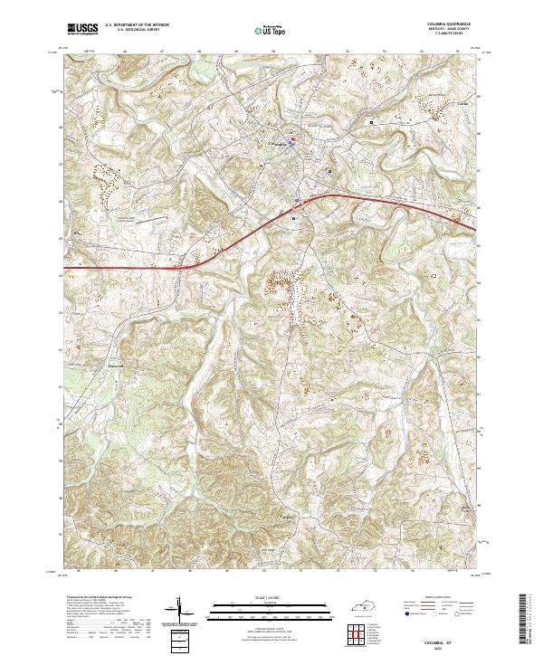
2022 Map of Columbia
USGS Topo · Published 2022About this map
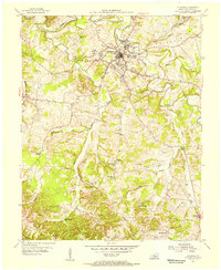
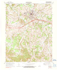
Columbia serves as the focal point of this Adair County landscape, centered around the Adair County Judicial Center and the campus of Lindsey Wilson College. The town sits at a strategic convergence of waterways, where Russell Creek is joined by several tributaries including Pettys Fork and Bull Run Cr. The surrounding terrain is defined by a series of prominent elevations like Burton Ridge, Harvey Ridge, and Earl Ridge, which dictated the winding paths of the early road network before modern bypasses were constructed.
Find a feature on this map
149 named features on this map. Tap any name to fly to it.
Don’t see what you’re looking for? This feature index may not catch every label — zoom into the map to look around manually.
Map Details
Editions of this 2022 Columbia Map
This is the sole edition of this map. No revisions or reprints were ever made.