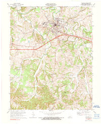
1973 Map of Columbia
USGS Topo · Published 1976About this map
Lindsey Wilson College and the core of Columbia serve as the focal point of this mid-1970s survey of Adair County. The town is depicted with a detailed street grid and key municipal infrastructure, including the County Hospital, Filtration Plant, and Radio Tower (WAIN). Just south of the town center, the Cumberland Parkway cuts a modern path across a landscape otherwise defined by winding waterways like Russell Creek and Pettys Fork.
Find a feature on this map
39 named features on this map. Tap any name to fly to it.
Don’t see what you’re looking for? This feature index may not catch every label — zoom into the map to look around manually.
Map Details
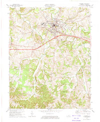
Editions of this 1973 Columbia Map
2 editions found
Other maps of this area

1953 · Gradyville
USGS Topo · 1:24,000

1953 · Breeding
USGS Topo · 1:24,000

1953 · Amandaville
USGS Topo · 1:24,000

1953 · Montpelier
USGS Topo · 1:24,000

1953 · Gresham
USGS Topo · 1:24,000

1953 · Creelsboro
USGS Topo · 1:24,000

1953 · Cane Valley
USGS Topo · 1:24,000

1954 · Knifley
USGS Topo · 1:24,000

1954 · Columbia
USGS Topo · 1:24,000

1956 · Corbin
USGS Topo · 1:250,000