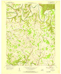
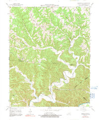
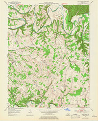
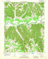
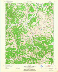
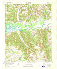
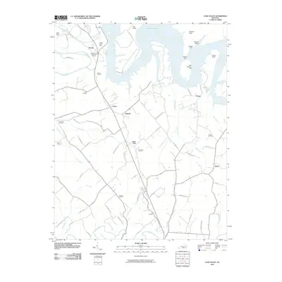
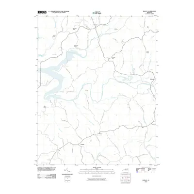
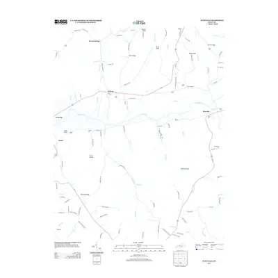
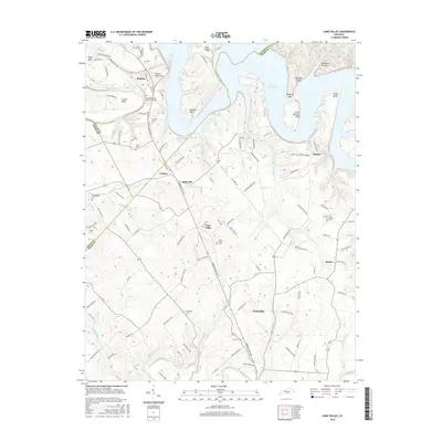
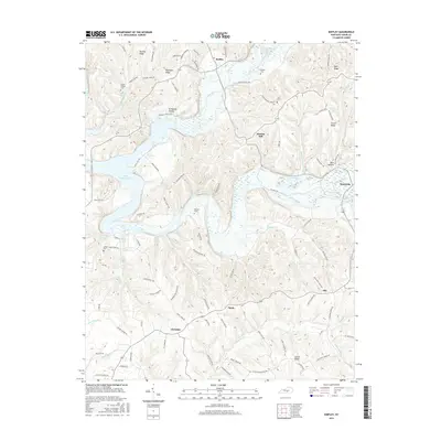
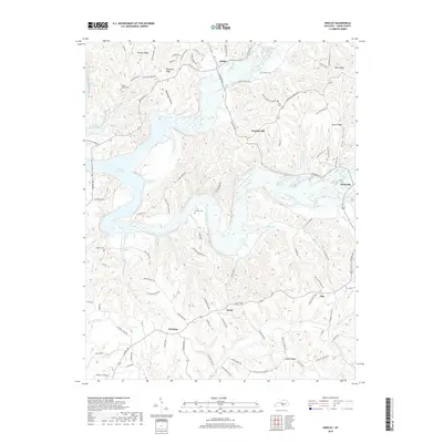
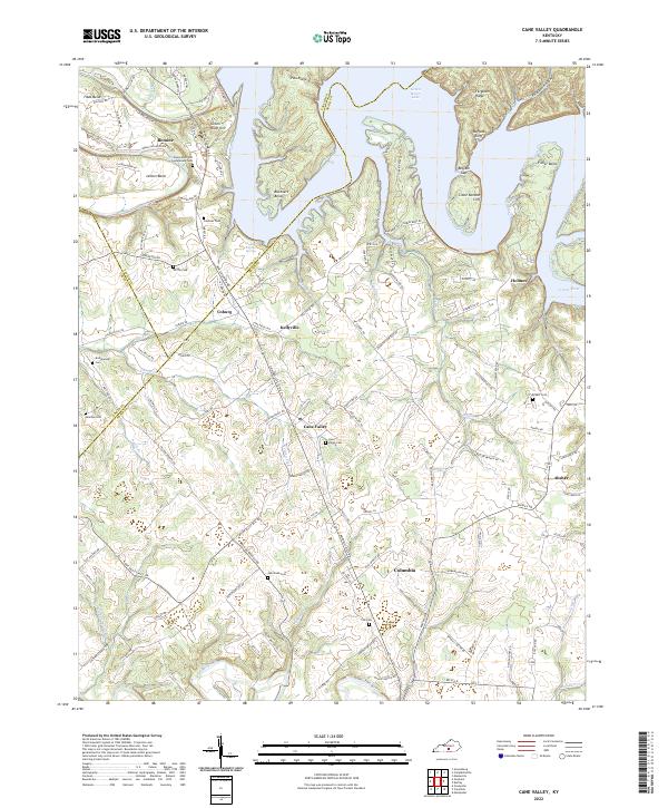
1953 Map of Cane Valley
USGS Topo · Published 1955About this map
The Green River carves a deep path through northern Adair and Taylor Counties, creating sharp meanders like Tibbs Bend and Fisher Bend. The landscape in the early 1950s is defined by small, dispersed rural settlements and a dense network of country schools and churches that served these upland farming communities. Unique historical markers such as the Confederate Cem near Green River Hill and the Saltpeter Cave at Tampico point to deeper layers of Kentucky's 19th-century history.
Find a feature on this map
75 named features on this map. Tap any name to fly to it.
Don’t see what you’re looking for? This feature index may not catch every label — zoom into the map to look around manually.
Map Details
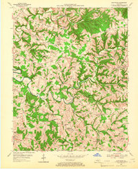
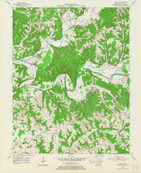
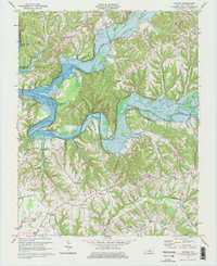
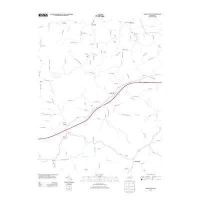
Editions of this 1953 Cane Valley Map
2 editions found
Historical Maps of Columbia Through Time
41 maps found
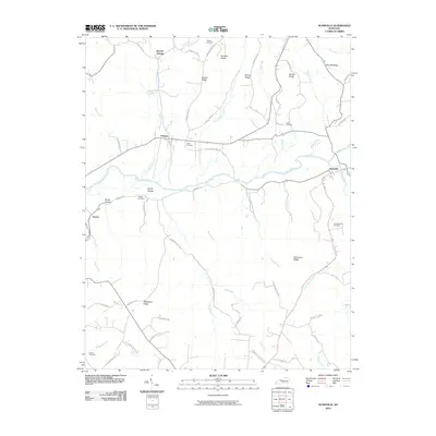
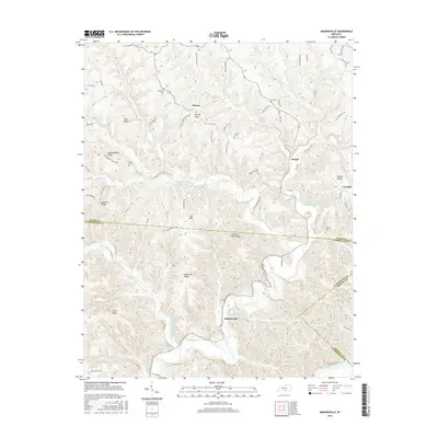
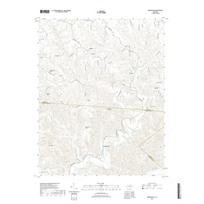
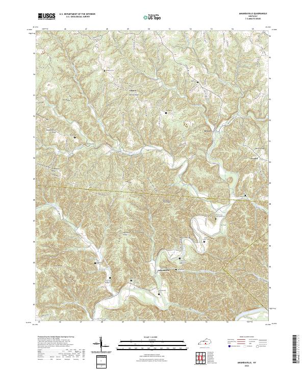
1953 Amandaville
Adair County, KY
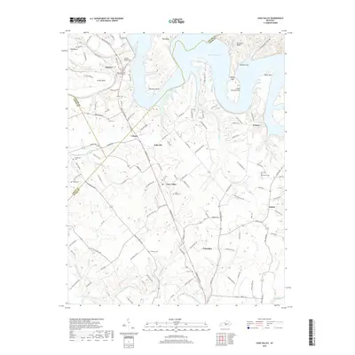
1953 Cane Valley
Adair County, KY
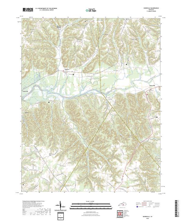
1953 Dunnville
Adair County, KY
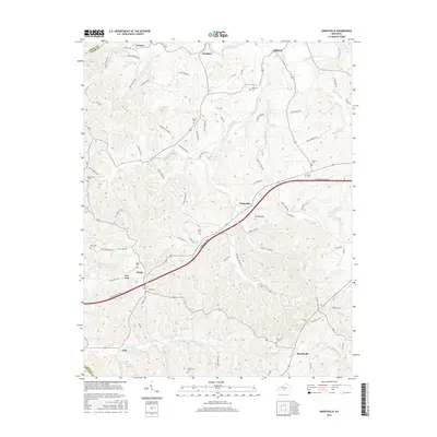
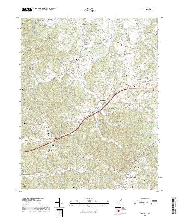
1953 Gradyville
Adair County, KY
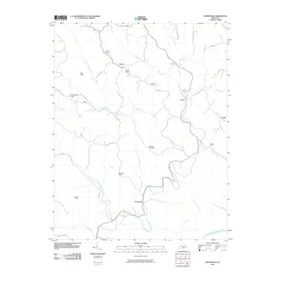
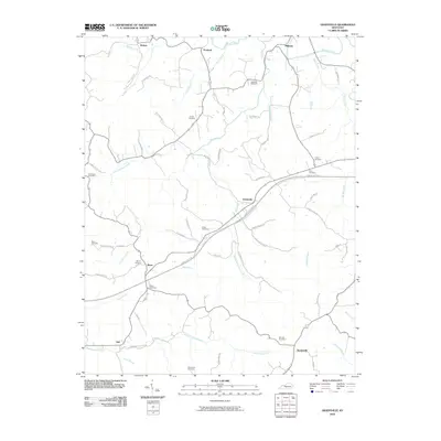
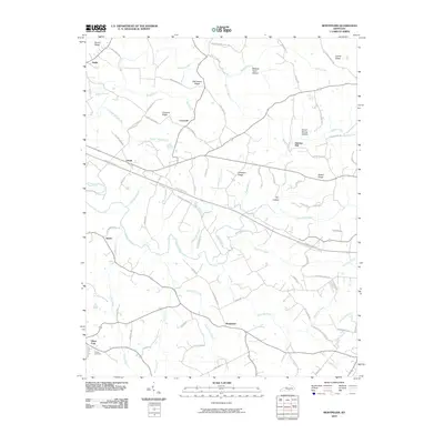
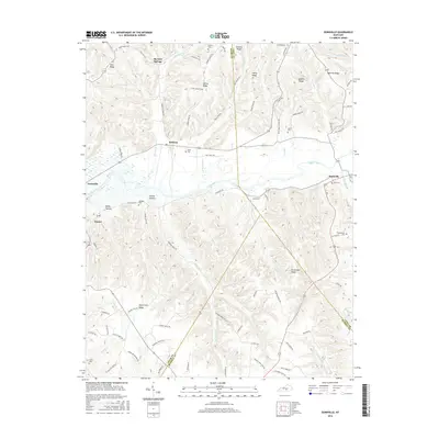
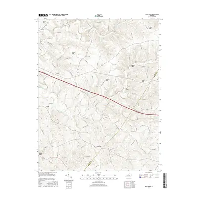
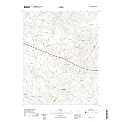
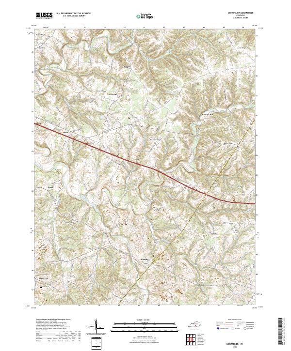
1953 Montpelier
Adair County, KY
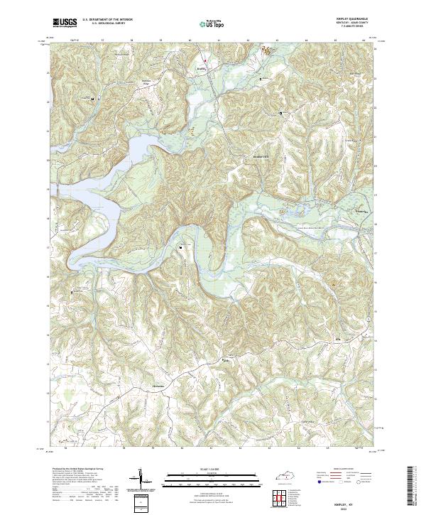
1954 Knifley
Adair County, KY
1970 Cane Valley
Adair County, KY
1970 Dunnville
Adair County, KY
1970 Knifley
Adair County, KY
1973 Gradyville
Adair County, KY
1973 Montpelier
Adair County, KY
2010 Amandaville
Adair County, KY
2010 Cane Valley
Adair County, KY
2010 Dunnville
Adair County, KY
2010 Gradyville
Adair County, KY
2010 Knifley
Adair County, KY
2010 Montpelier
Adair County, KY
2013 Amandaville
Adair County, KY
2013 Cane Valley
Adair County, KY
2013 Dunnville
Adair County, KY
2013 Gradyville
Adair County, KY
2013 Knifley
Adair County, KY
2013 Montpelier
Adair County, KY
2016 Amandaville
Adair County, KY
2016 Cane Valley
Adair County, KY
2016 Dunnville
Adair County, KY
2016 Gradyville
Adair County, KY
2016 Knifley
Adair County, KY
2016 Montpelier
Adair County, KY
2019 Amandaville
Adair County, KY
2019 Cane Valley
Adair County, KY
2019 Dunnville
Adair County, KY
2019 Gradyville
Adair County, KY
2019 Knifley
Adair County, KY
2019 Montpelier
Adair County, KY
2022 Amandaville
Adair County, KY
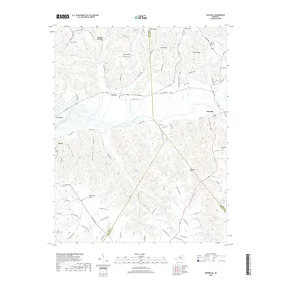
2022 Cane Valley
Adair County, KY
2022 Dunnville
Adair County, KY
2022 Gradyville
Adair County, KY
2022 Knifley
Adair County, KY
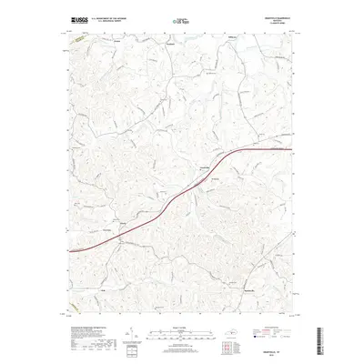
2022 Montpelier
Adair County, KY