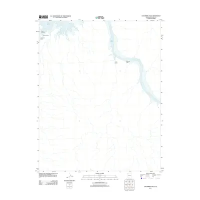
2011 Map of Columbine Falls
USGS Topo · Published 2011About this map
Lake Mead and the Colorado River dominate this 2011 survey of the desert landscape in Mohave County. This map documents a critical hydrologic and recreational junction where the river enters the reservoir system, marked by the Pearce Ferry Boat Anchorage at Pearce Bay. The geography is defined by the entrance to the Grand Canyon, with significant drainages like Grapevine Wash and Cave Canyon feeding into the main waterway.
Find a feature on this map
9 named features on this map. Tap any name to fly to it.
Don’t see what you’re looking for? This feature index may not catch every label — zoom into the map to look around manually.
Map Details
Editions of this 2011 Columbine Falls Map
This is the sole edition of this map. No revisions or reprints were ever made.
Other maps of this area

1886 · Diamond Creek
USGS Topo · 1:250,000

1886 · Camp Mohave
USGS Topo · 1:250,000

1886 · Saint Thomas
USGS Topo · 1:250,000

1886 · Mt. Trumbull
USGS Topo · 1:250,000

1892 · Diamond Creek
USGS Topo · 1:250,000

1892 · Mt. Trumbull
USGS Topo · 1:250,000

1892 · Camp Mohave
USGS Topo · 1:250,000

1893 · Saint Thomas
USGS Topo · 1:250,000

1926 · Bonelli
USGS Topo · 1:96,000

1942 · Camp Mohave
USGS Topo · 1:250,000