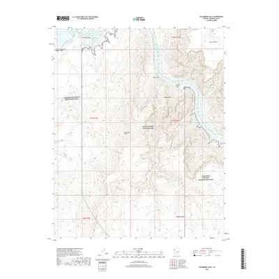
2018 Map of Columbine Falls
USGS Topo · Published 2018About this map
Columbine Falls and the surrounding riverine landscape mark the transition between several major protected areas in Mohave County. The Colorado River flows through the center of the sheet, winding past the Weeping Cliffs as it enters the Lower Granite Gorge. This stretch of water acts as a boundary between the eastern edge of the Lake Mead National Recreation Area and the western reaches of Grand Canyon National Park.
Find a feature on this map
18 named features on this map. Tap any name to fly to it.
Don’t see what you’re looking for? This feature index may not catch every label — zoom into the map to look around manually.
Map Details
Editions of this 2018 Columbine Falls Map
This is the sole edition of this map. No revisions or reprints were ever made.
Other maps of this area

1886 · Diamond Creek
USGS Topo · 1:250,000

1886 · Camp Mohave
USGS Topo · 1:250,000

1886 · Saint Thomas
USGS Topo · 1:250,000

1886 · Mt. Trumbull
USGS Topo · 1:250,000

1892 · Diamond Creek
USGS Topo · 1:250,000

1892 · Mt. Trumbull
USGS Topo · 1:250,000

1892 · Camp Mohave
USGS Topo · 1:250,000

1893 · Saint Thomas
USGS Topo · 1:250,000

1926 · Bonelli
USGS Topo · 1:96,000

1942 · Camp Mohave
USGS Topo · 1:250,000