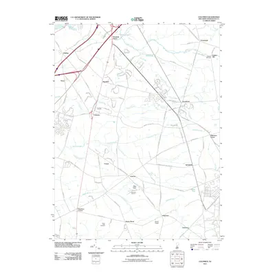
2011 Map of Columbus
USGS Topo · Published 2011About this map
Arneys Mount and Mount Pisgah rise above the agricultural and residential landscape of Burlington County, anchoring a terrain defined by the winding paths of Assiscunk Creek, Crafts Creek, and Blacks Creek. This 2011 survey documents a transition from established village centers like Columbus and Chesterfield to newer residential developments and key recreational sites. Local history is reflected in the distribution of long-standing settlements such as Hedding, Jobstown, and Juliustown, while specialized landmarks like the Mount Holly Speedway and Redwing Airport mark the area's modern infrastructure.
Find a feature on this map
117 named features on this map. Tap any name to fly to it.
Don’t see what you’re looking for? This feature index may not catch every label — zoom into the map to look around manually.
Map Details
Editions of this 2011 Columbus Map
This is the sole edition of this map. No revisions or reprints were ever made.
Other maps of this area

1888 · Bordentown
USGS Topo · 1:62,500

1888 · Pemberton
USGS Topo · 1:62,500

1888 · Mount Holly
USGS Topo · 1:62,500

1890 · Burlington
USGS Topo · 1:62,500

1893 · Bordentown
USGS Topo · 1:62,500

1893 · Burlington
USGS Topo · 1:62,500

1894 · Pemberton
USGS Topo · 1:62,500

1894 · Mount Holly
USGS Topo · 1:62,500

1898 · Pemberton
USGS Topo · 1:62,500

1898 · Mount Holly
USGS Topo · 1:62,500
Featured Places
- Bordentown Township, NJ
- Mansfield Township, NJ
- Chesterfield Township, NJ
- Eastampton Township, NJ
- Springfield Township, NJ