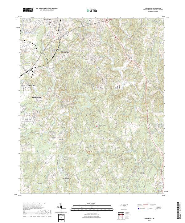
2022 Map of Concord SE
USGS Topo · Published 2022About this map
The Rocky River and its numerous tributaries, including Reedy Creek and Cold Water Creek, carve a rolling landscape through this portion of Cabarrus County. The 2022 survey illustrates the ongoing evolution of the region, where the urban expansion of Concord and Harrisburg meets long-standing rural landmarks. Smaller, historic hubs like Pioneer Mills and Flows Store anchor the southeastern and central parts of the sheet, reflecting the area's agricultural and milling roots.
Find a feature on this map
197 named features on this map. Tap any name to fly to it.
Don’t see what you’re looking for? This feature index may not catch every label — zoom into the map to look around manually.
Map Details
Editions of this 2022 Concord SE Map
This is the sole edition of this map. No revisions or reprints were ever made.
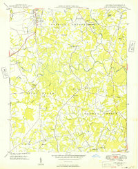
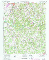
Historical Maps of Faggarts Crossroads Through Time
3 maps found