2021 Map of Connelsville
USGS Topo · Published 2021About this map
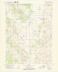
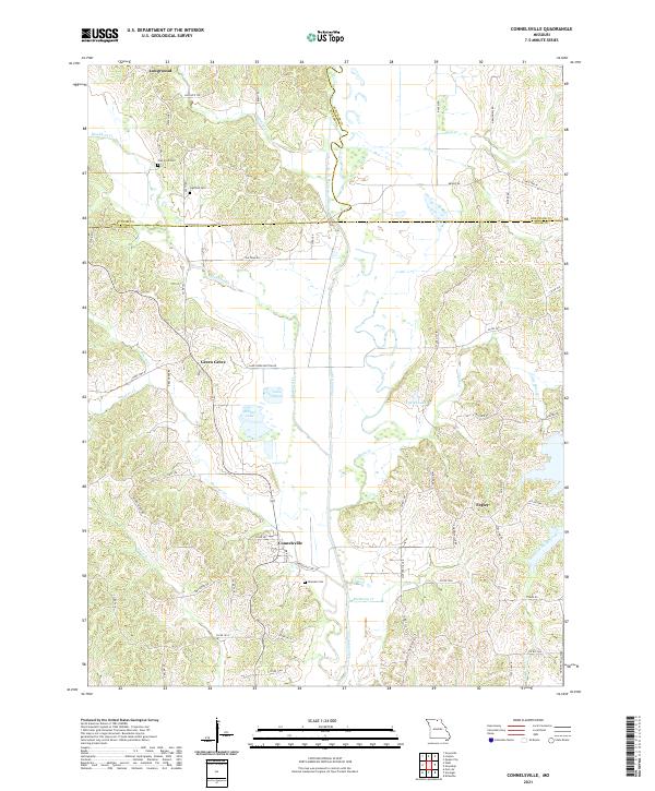
The Chariton River carves a winding path through this northern Missouri landscape, marking the convergence of Adair, Putnam, and Schuyler counties. In the southern portion of the sheet, the settlement of Connelsville serves as a local hub, situated near the banks of the river and Mulberry Cr. The area is characterized by numerous small tributaries such as Shuteye Cr and Blackbird Cr, which have shaped the local topography into a series of ridges and hollows. For those researching family history in the region, several burial sites are documented, including Nineveh Cem near the river, and Cain Ford Cem and Hatfield Cem located further north among the timbered uplands. Small rural communities like Green Grove, Lowground, and Fegley remain connected by a network of county roads and state highways, reflecting a persistent agricultural settlement pattern where local landmarks like Lake Elsea and Scobee Lake break up the wooded terrain.
Find a feature on this map
71 named features on this map. Tap any name to fly to it.
Don’t see what you’re looking for? This feature index may not catch every label — zoom into the map to look around manually.
Map Details
Editions of this 2021 Connelsville Map
This is the sole edition of this map. No revisions or reprints were ever made.