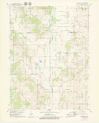
1979 Map of Connelsville
USGS Topo · Published 1979About this map
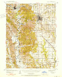
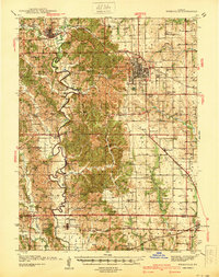
The Chariton River and its Old Channel divide the landscape of northern Missouri in this late-1970s survey. The settlement of Connelsville serves as a central point of interest, situated near where the Old Railroad Grade runs through the river valley. To the north, the small community of Lowground is identified near Wildcat Creek, while several family and community burial sites such as Hatfield Cem and Cain Ford Cem offer essential data for genealogical research. The map illustrates a region of transition, where local water bodies like Scobee Lake and Lake Elsea sit amidst the drainage basins of Blackbird Creek and Shuteye Creek. Public life is centered around rural landmarks such as the Hazel Creek Union Ch and several sandpits, reflecting the local economic activities and spiritual hubs of the era.
Find a feature on this map
40 named features on this map. Tap any name to fly to it.
Don’t see what you’re looking for? This feature index may not catch every label — zoom into the map to look around manually.
Map Details
Editions of this 1979 Connelsville Map
This is the sole edition of this map. No revisions or reprints were ever made.
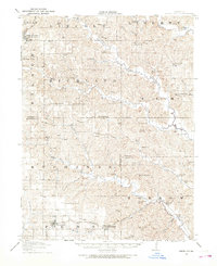
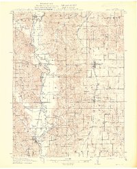
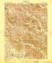
Other maps of this area

1911 · Queen City
USGS Topo · 1:62,500
1912 · Green City
USGS Topo · 1:62,500
1913 · Queen City
USGS Topo · 1:62,500
1914 · Green City
USGS Topo · 1:62,500
1938 · Kirksville
USGS Topo · 1:62,500
1940 · Kirksville
USGS Topo · 1:62,500

1954 · Centerville
USGS Topo · 1:250,000

1957 · Centerville
USGS Topo · 1:250,000

1958 · Centerville
USGS Topo · 1:250,000
1963 · Pure Air
USGS Topo · 1:24,000