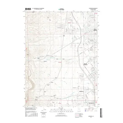
2017 Map of Copperton
USGS Topo · Published 2017About this map
Copperton sits at the foot of the Oquirrh Mountains, where the industrial scale of mining operations meets the residential sprawl of the Salt Lake Valley. This area illustrates a sharp transition from the steep, canyon-cut terrain of Bingham Canyon and Butterfield Canyon to the structured grid of modern suburban development. Water management is a primary feature of the landscape, evidenced by the Bingham Cr Reservoir and the massive Kennecott Eastside Leaching Reservoir situated near the town site.
Find a feature on this map
110 named features on this map. Tap any name to fly to it.
Don’t see what you’re looking for? This feature index may not catch every label — zoom into the map to look around manually.
Map Details
Editions of this 2017 Copperton Map
This is the sole edition of this map. No revisions or reprints were ever made.
Other maps of this area

1885 · Salt Lake
USGS Topo · 1:250,000

1885 · Tooele Valley
USGS Topo · 1:250,000

1915 · Fairfield
USGS Topo · 1:62,500

1917 · Fairfield
USGS Topo · 1:62,500

1925 · Ft. Douglas
USGS Topo · 1:125,000

1928 · Ft. Douglas
USGS Topo · 1:125,000

1951 · Jordan Narrows
USGS Topo · 1:24,000

1951 · Salt Lake City South
USGS Topo · 1:24,000

1951 · Midvale
USGS Topo · 1:24,000

1952 · Magna
USGS Topo · 1:24,000