2024 Map of Corinna
USGS Topo · Published 2024About this map
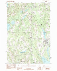
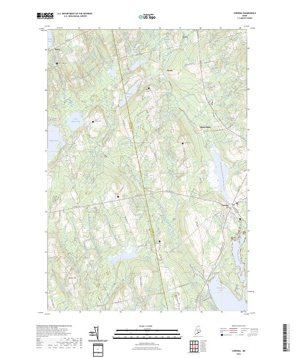
The East Branch Sebasticook River provides a focal point for the settlement of Corinna, where the river flows into Sebasticook Lake at the southern edge of the quadrangle. This area of central Maine is characterized by a network of small hamlets and historical family burial grounds, including Lincoln Mills and Moody. The landscape is defined by the intersection of water and transport, with the East Branch Sebasticook River Reservoir and Mulligan Stream carving through the terrain alongside historical thoroughfares like Corinna Rd. Genealogists will find a high concentration of named cemeteries throughout the rural landscape, from Fern-Dale Cem in the northwest near Ripley to the Village Cem on the outskirts of the main village. The transition from the wetlands of Martin Bog to the elevation of Palmer Hill illustrates the varied physical geography that shaped the early development of Somerset Co and Penobscot Co.
Find a feature on this map
95 named features on this map. Tap any name to fly to it.
Don’t see what you’re looking for? This feature index may not catch every label — zoom into the map to look around manually.
Map Details
Editions of this 2024 Corinna Map
This is the sole edition of this map. No revisions or reprints were ever made.