Loading...
Loading map...2023 Map of Coupeville
USGS Topo · Published 2023About this map
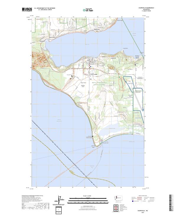
Whidbey Island is anchored by the historic waterfront of Coupeville, where the Island County Law and Justice Building serves as a regional hub. This coastal landscape is defined by the sweeping waters of Penn Cove and the protected lands of Ebey's Landing National Historical Reserve. The map details a transition from the agricultural heritage of Ebeys Prairie and Smith Prairie to the modern aviation operations at the Coupeville Naval Outlying Field.
Find a feature on this map
135 named features on this map. Tap any name to fly to it.
Don’t see what you’re looking for? This feature index may not catch every label — zoom into the map to look around manually.
Map Details
Date Portrayed2023
Date Published2023
PublisherU.S. Geological Survey
Map TypeTopographic
Scale1:24000
Physical Dimensions24 x 29 inches
Editions of this 2023 Coupeville Map
This is the sole edition of this map. No revisions or reprints were ever made.
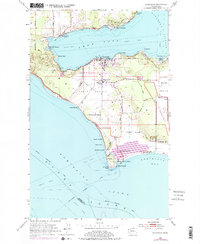
Historical Maps of Port Townsend Through Time
3 maps found

Featured Locations
Source Details
SourceU.S. Geological Survey
CopyrightPublic Domain