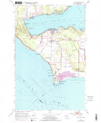
1953 Map of Coupeville
USGS Topo · Published 1976About this map
Penn Cove defines the geography of central Whidbey Island, where the historic maritime village of Coupeville sits along the shoreline near Mueller Park. The landscape is dominated by the broad, fertile expanses of Ebeys Prairie and Smith Prairie, reflecting a long history of agricultural use that dates back to early settlement. Significant military and transportation infrastructure is evident at the southern end of the sheet, including the Fort Casey Military Reservation and the Lighthouse (Aban'd) overlooking Admiralty Head. This 1953 survey, with photorevisions from 1973, captures a period of transition as traditional island life met mid-century developments like the Keystone Ferry Landing and the Olf Coupeville (Navy) landing field. Small communities such as San De Fuca and Prairie Center provide localized detail for genealogists tracking family roots in Island County.
Find a feature on this map
47 named features on this map. Tap any name to fly to it.
Don’t see what you’re looking for? This feature index may not catch every label — zoom into the map to look around manually.
Map Details
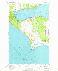
Editions of this 1953 Coupeville Map
3 editions found
Other maps of this area

1939 · Port Townsend
USGS Topo · 1:62,500

1939 · Coupeville
USGS Topo · 1:62,500

1943 · Richardson
USGS Topo · 1:62,500

1943 · Deception Pass
USGS Topo · 1:62,500

1951 · Deception Pass
USGS Topo · 1:62,500

1953 · Coupeville
USGS Topo · 1:24,000

1953 · Freeland
USGS Topo · 1:24,000

1953 · Nordland
USGS Topo · 1:24,000

1953 · Camano
USGS Topo · 1:24,000

1953 · Port Townsend North
USGS Topo · 1:24,000