
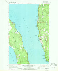
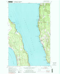
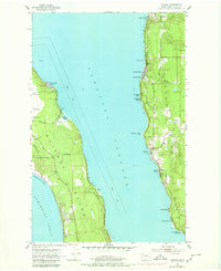
1953 Map of Camano
USGS Topo · Published 1955About this map
Saratoga Passage carves a deep channel between the shores of Whidbey Island and Camano Island in this early 1950s study of the northern Puget Sound. The landscape is defined by its saltwater interface, where protected waters at Harrington Lagoon and Race Lagoon contrast with the exposed bluffs of North Bluff. While much of the interior terrain remains characterized by wooded rises and small water bodies like Carp Lake, the shoreline reveals a burgeoning mid-century vacation culture.
Find a feature on this map
32 named features on this map. Tap any name to fly to it.
Don’t see what you’re looking for? This feature index may not catch every label — zoom into the map to look around manually.
Map Details
Editions of this 1953 Camano Map
4 editions found
Other maps of this area

1911 · Mount Vernon
USGS Topo · 1:125,000

1939 · Coupeville
USGS Topo · 1:62,500

1940 · Mt Vernon
USGS Topo · 1:62,500

1943 · Mt Vernon
USGS Topo · 1:62,500

1943 · Stanwood
USGS Topo · 1:62,500

1943 · Deception Pass
USGS Topo · 1:62,500

1951 · Deception Pass
USGS Topo · 1:62,500

1953 · Coupeville
USGS Topo · 1:24,000

1953 · Freeland
USGS Topo · 1:24,000

1953 · Nordland
USGS Topo · 1:24,000