
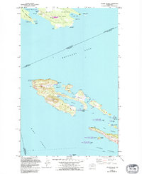
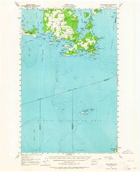
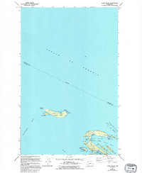
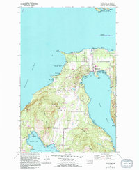
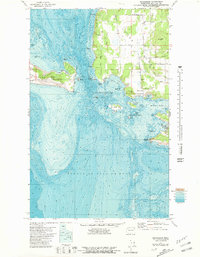
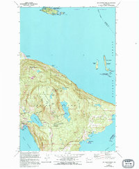
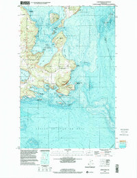
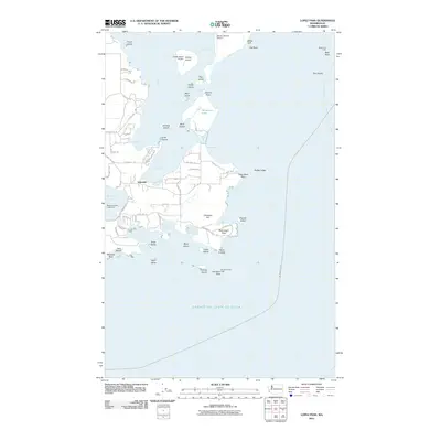
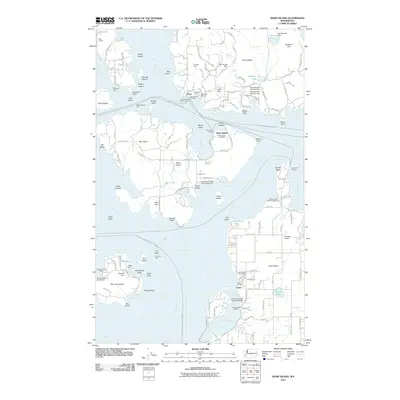
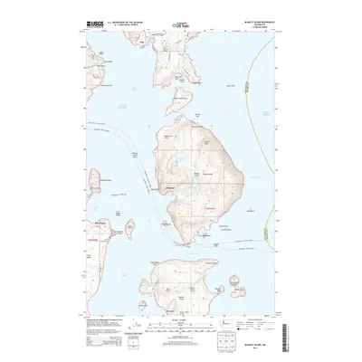
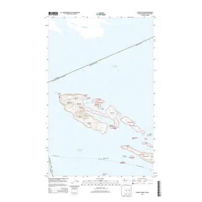
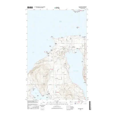
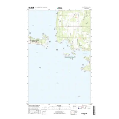
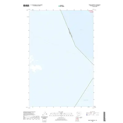
1943 Map of Richardson
USGS Topo · Published 1943About this map
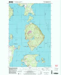
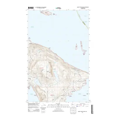
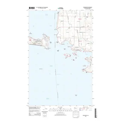
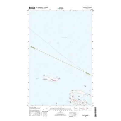
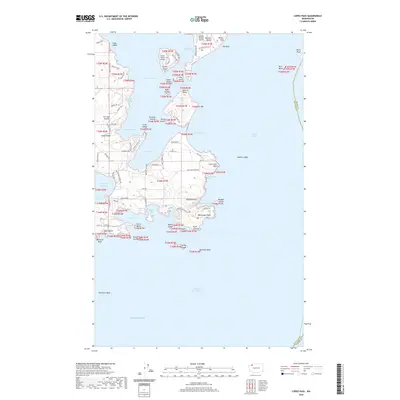
The southern reaches of Lopez Island are defined here by a deeply indented coastline of bays and harbors, where the settlement of Richardson serves as a primary coastal hub. Surveyed just as the United States entered the second World War, the map illustrates a landscape of rural school districts, including the Center Sch, Lopez Sch, and Mud Bay Sch, which anchored the island's small communities. To the south, the isolated Smith Island National Wild Life Refuge stands alone in the Juan de Fuca Strait, marking a critical navigation point near the convergence of several county boundaries.
Find a feature on this map
62 named features on this map. Tap any name to fly to it.
Don’t see what you’re looking for? This feature index may not catch every label — zoom into the map to look around manually.
Map Details
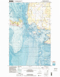
Editions of this 1943 Richardson Map
This is the sole edition of this map. No revisions or reprints were ever made.
Historical Maps of Islandale Through Time
75 maps found

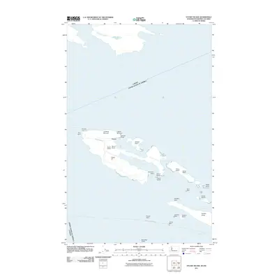
1943 Orcas Island
San Juan County, WA
1943 Richardson
San Juan County, WA
1953 Stuart Island
San Juan County, WA
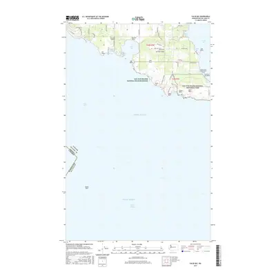
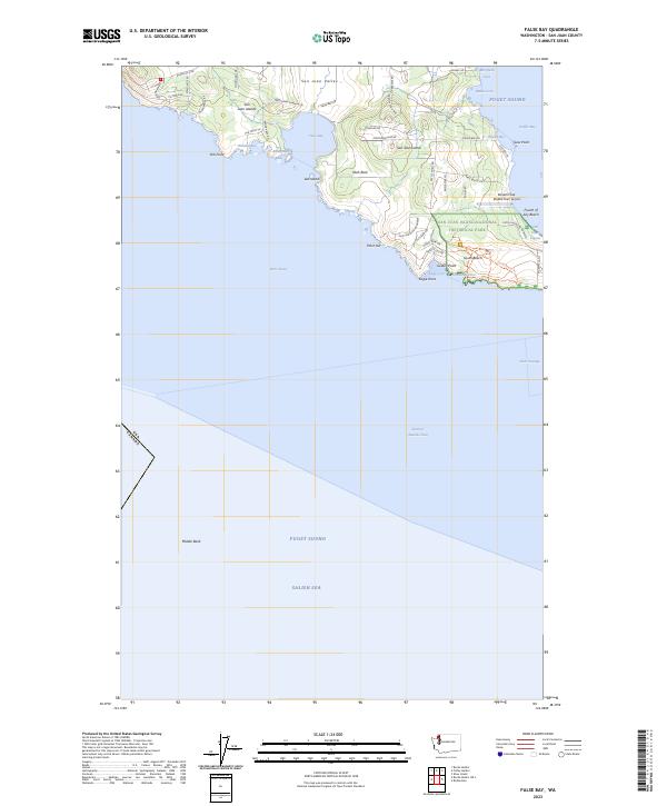
1954 False Bay
San Juan County, WA
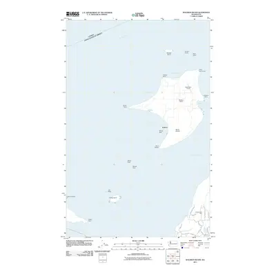
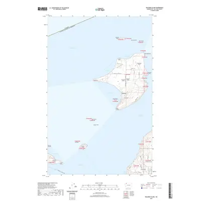
1954 Waldron Island
San Juan County, WA
1957 Orcas Island
San Juan County, WA
1957 Richardson
San Juan County, WA
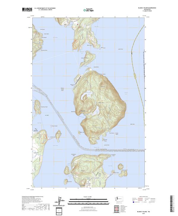
1973 Blakely Island
San Juan County, WA
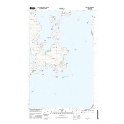
1973 Lopez Pass
San Juan County, WA
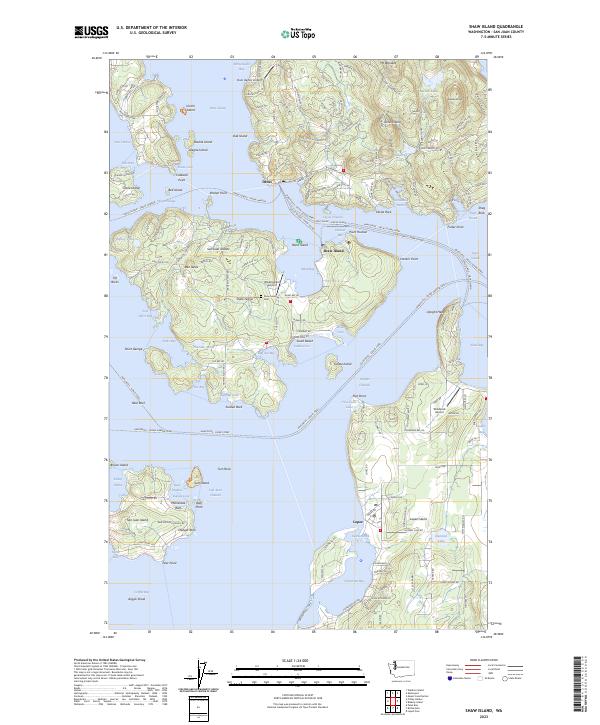
1973 Shaw Island
San Juan County, WA
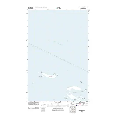
1973 Sucia Island
San Juan County, WA
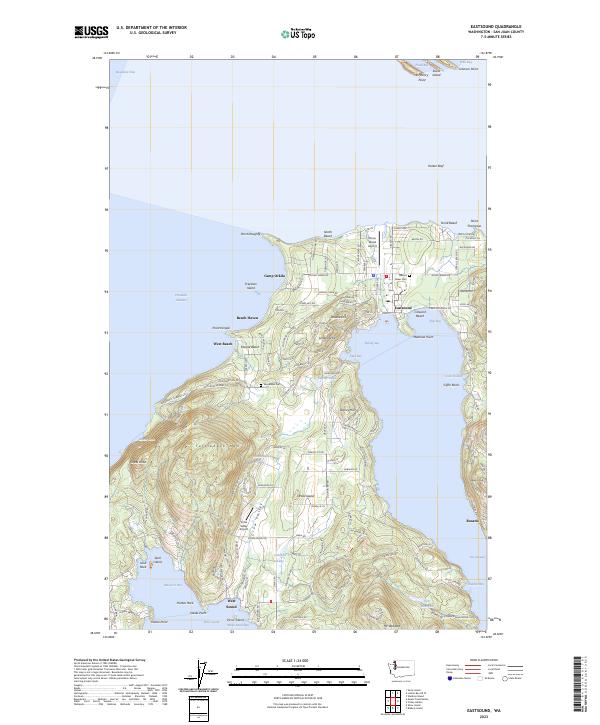
1977 Eastsound
San Juan County, WA
1977 Richardson
San Juan County, WA
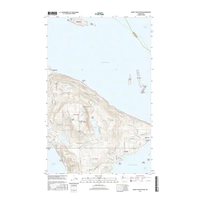
1978 Mt Constitution
San Juan County, WA
1997 Blakely Island
San Juan County, WA
1997 Eastsound
San Juan County, WA
1997 Waldron Island
San Juan County, WA
1998 False Bay
San Juan County, WA
1998 Lopez Pass
San Juan County, WA
1998 Richardson
San Juan County, WA
2011 Blakely Island
San Juan County, WA
2011 Eastsound
San Juan County, WA

2011 False Bay
San Juan County, WA
2011 Lopez Pass
San Juan County, WA
2011 Mount Constitution
San Juan County, WA
2011 Richardson
San Juan County, WA
2011 Roche Harbor OE S
San Juan County, WA
2011 Shaw Island
San Juan County, WA
2011 Stuart Island
San Juan County, WA
2011 Sucia Island
San Juan County, WA
2011 Waldron Island
San Juan County, WA
2014 Blakely Island
San Juan County, WA
2014 Eastsound
San Juan County, WA
2014 False Bay
San Juan County, WA
2014 Lopez Pass
San Juan County, WA
2014 Mount Constitution
San Juan County, WA
2014 Richardson
San Juan County, WA
2014 Roche Harbor OE S
San Juan County, WA
2014 Shaw Island
San Juan County, WA
2014 Stuart Island
San Juan County, WA
2014 Sucia Island
San Juan County, WA
2014 Waldron Island
San Juan County, WA
2017 Blakely Island
San Juan County, WA
2017 Eastsound
San Juan County, WA
2017 False Bay
San Juan County, WA
2017 Lopez Pass
San Juan County, WA
2017 Mount Constitution
San Juan County, WA
2017 Richardson
San Juan County, WA
2017 Roche Harbor OE S
San Juan County, WA
2017 Shaw Island
San Juan County, WA
2017 Stuart Island
San Juan County, WA
2017 Sucia Island
San Juan County, WA
2017 Waldron Island
San Juan County, WA
2020 Blakely Island
San Juan County, WA
2020 Eastsound
San Juan County, WA
2020 False Bay
San Juan County, WA
2020 Lopez Pass
San Juan County, WA
2020 Mount Constitution
San Juan County, WA
2020 Richardson
San Juan County, WA
2020 Roche Harbor OE S
San Juan County, WA
2020 Shaw Island
San Juan County, WA
2020 Stuart Island
San Juan County, WA
2020 Sucia Island
San Juan County, WA
2020 Waldron Island
San Juan County, WA
2023 Blakely Island
San Juan County, WA
2023 Eastsound
San Juan County, WA
2023 False Bay
San Juan County, WA
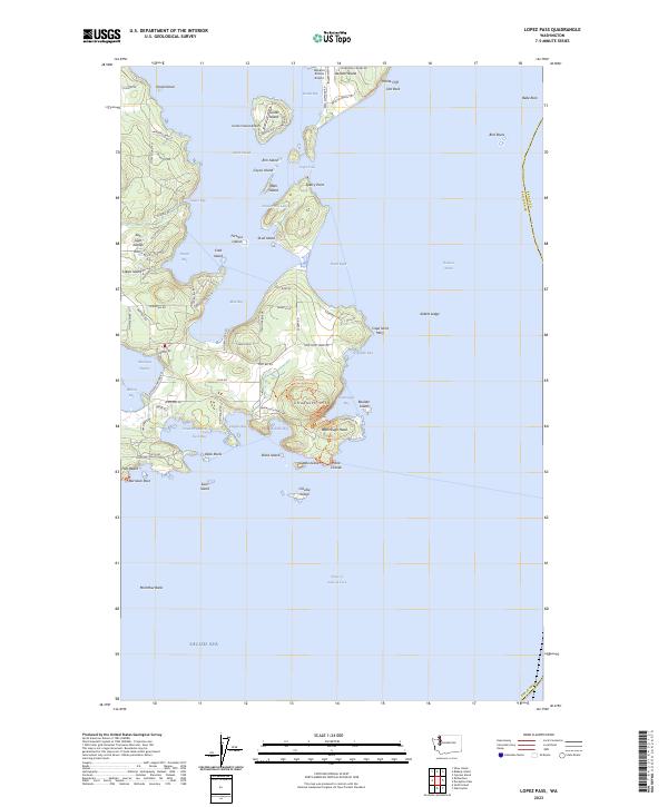
2023 Lopez Pass
San Juan County, WA
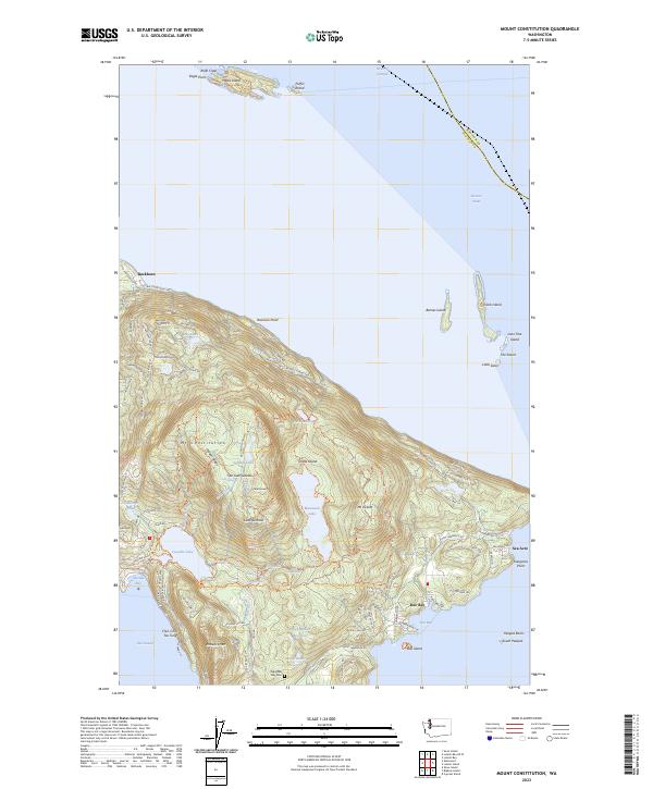
2023 Mount Constitution
San Juan County, WA
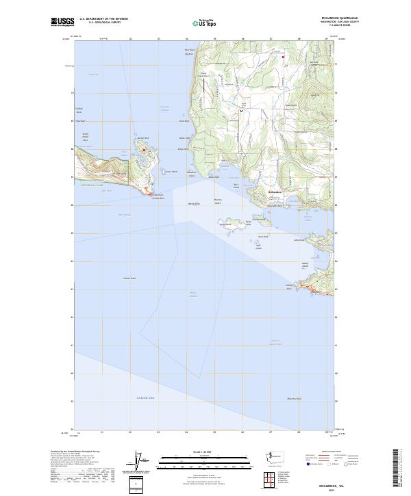
2023 Richardson
San Juan County, WA
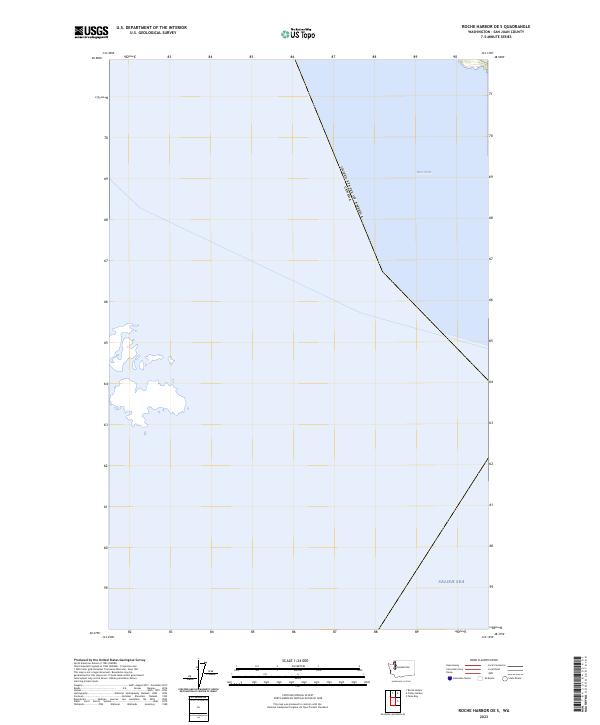
2023 Roche Harbor OE S
San Juan County, WA
2023 Shaw Island
San Juan County, WA
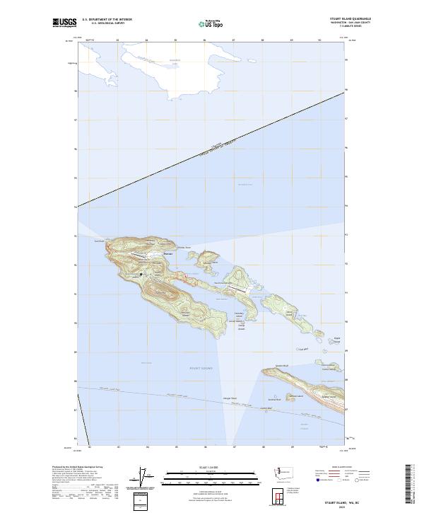
2023 Stuart Island
San Juan County, WA
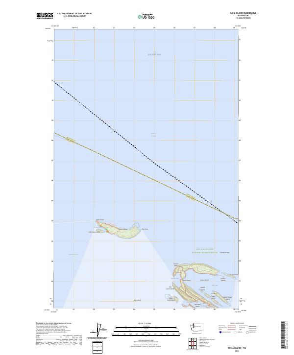
2023 Sucia Island
San Juan County, WA
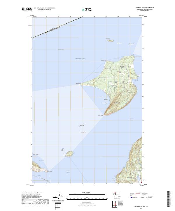
2023 Waldron Island
San Juan County, WA