2022 Map of Courtland
USGS Topo · Published 2022About this map
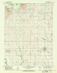
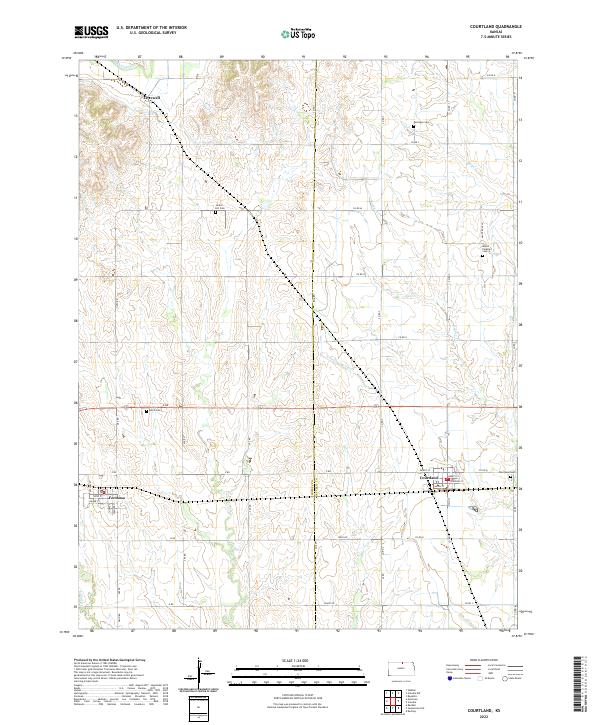
Courtland and Formoso anchor this agricultural landscape in Republic and Jewell counties, where the rectangular survey system defines every section and road. The terrain is shaped by the winding courses of White Rock Cr and Beaver Cr, which cut through the plains alongside the engineered path of the Courtland W Canal. Local genealogy is well-documented through several rural burial grounds, including the Persinger Cem in the north and Mount Pleasant Cem to the east. The small community of Lovewell sits near the northern boundary, while the plat of Formoso reveals a tight grid of named streets such as Yates St and Appleby St. This modern survey provides a clear view of the longstanding township divisions and the network of county roads that have supported these Kansas farming communities for generations.
Find a feature on this map
53 named features on this map. Tap any name to fly to it.
Don’t see what you’re looking for? This feature index may not catch every label — zoom into the map to look around manually.
Map Details
Editions of this 2022 Courtland Map
This is the sole edition of this map. No revisions or reprints were ever made.