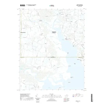
2019 Map of Creeds
USGS Topo · Published 2019About this map
The Intracoastal Waterway threads through the low-lying coastal plains of the Virginia-North Carolina border, defining a landscape of expansive wetlands and tidal reaches. Near the rural crossroads of Creeds, the map documents established local landmarks like Bethel Cem and Oak Grove Cem, providing clear spatial context for genealogical research. The geography is dominated by the complex hydrology of the North Landing River and the Northwest River, where numerous points and islands such as Munden Point, Gibbs Point, and Faraby Island jut into the waters.
Find a feature on this map
77 named features on this map. Tap any name to fly to it.
Don’t see what you’re looking for? This feature index may not catch every label — zoom into the map to look around manually.
Map Details
Editions of this 2019 Creeds Map
This is the sole edition of this map. No revisions or reprints were ever made.
Other maps of this area

1893 · Virginia Beach
USGS Topo · 1:125,000

1916 · Back Bay
USGS Topo · 1:62,500

1939 · Moyock
USGS Topo · 1:62,500

1940 · Barco
USGS Topo · 1:62,500

1943 · Back Bay
USGS Topo · 1:62,500

1946 · Moyock
USGS Topo · 1:62,500

1946 · Eastville
USGS Topo · 1:250,000

1946 · Currituck Sound
USGS Topo · 1:250,000

1948 · Elizabeth City
USGS Topo · 1:62,500

1953 · Norfolk
USGS Topo · 1:250,000