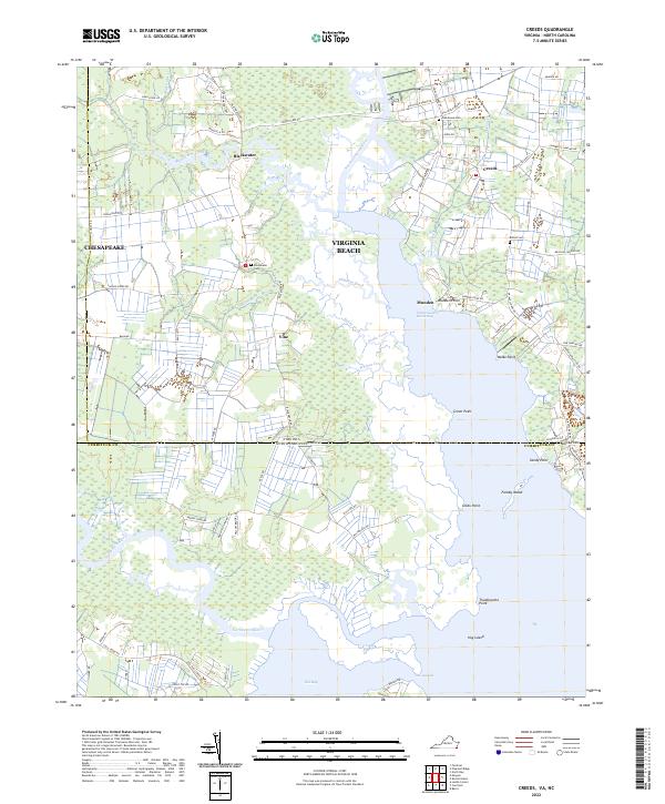
2022 Map of Creeds
USGS Topo · Published 2022About this map
North Landing River and the Intracoastal Waterway dominate this coastal landscape, where the border between Virginia Beach and Currituck County meets the Atlantic drainage. The map reveals a low-lying region defined by intricate creek systems including Snake Creek and Milldam Creek, with small settlements like Creeds and Blackwater serving as local hubs. These communities are connected by a network of rural roads such as Pungo Ferry Rd and Princess Anne Rd, reflecting the historical transition from water-based transport to modern land routes.
Find a feature on this map
80 named features on this map. Tap any name to fly to it.
Don’t see what you’re looking for? This feature index may not catch every label — zoom into the map to look around manually.
Map Details
Editions of this 2022 Creeds Map
This is the sole edition of this map. No revisions or reprints were ever made.
Other maps of this area

1893 · Virginia Beach
USGS Topo · 1:125,000

1916 · Back Bay
USGS Topo · 1:62,500

1939 · Moyock
USGS Topo · 1:62,500

1940 · Barco
USGS Topo · 1:62,500

1943 · Back Bay
USGS Topo · 1:62,500

1946 · Moyock
USGS Topo · 1:62,500

1946 · Eastville
USGS Topo · 1:250,000

1946 · Currituck Sound
USGS Topo · 1:250,000

1948 · Elizabeth City
USGS Topo · 1:62,500

1953 · Norfolk
USGS Topo · 1:250,000