Loading...
Loading map...2023 Map of Crystal
USGS Topo · Published 2023About this map
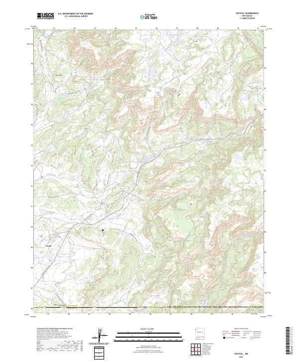
The Chuska Mountains dominate this high-altitude landscape along the border of San Juan and McKinley counties, where high desert valleys meet timbered uplands. The settlement of Crystal serves as a focal point near the southwestern corner, situated near Sage Lake and the Crystal Cem. This area is defined by its complex network of seasonal water sources and tribal service roads, including Indian Svc Rte 32 and Indian Svc Rte 7110, which trace the natural topography of the mountains.
Find a feature on this map
29 named features on this map. Tap any name to fly to it.
Don’t see what you’re looking for? This feature index may not catch every label — zoom into the map to look around manually.
Map Details
Date Portrayed2023
Date Published2023
PublisherU.S. Geological Survey
Map TypeTopographic
Scale1:24000
Physical Dimensions24 x 29 inches
Editions of this 2023 Crystal Map
This is the sole edition of this map. No revisions or reprints were ever made.
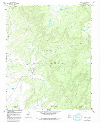
Historical Maps of Áshįįshzhiin Through Time
Featured Locations
- Fort Defiance Agency
- Shiprock Agency
- San Juan County, NM
- Crystal, Fort Defiance Agency
- Áshįįshzhiin, Fort Defiance Agency
Source Details
SourceU.S. Geological Survey
CopyrightPublic Domain