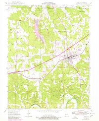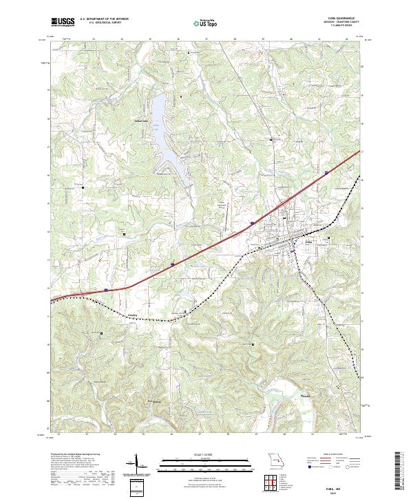
2023 Map of Cuba
USGS Topo · Published 2023About this map
The Meramec River winds through the southern portion of this region, shaping a landscape defined by small tributaries and established settlements. In the city of Cuba, the convergence of major transportation routes and local landmarks like the Cuba Municipal Airport and Holy Cross Cem highlight its role as a regional hub. To the west, the settlement of Fanning sits along the road network near the Meramec Hills Memorial Lawn Cem, while the waters of Indian Lake are surrounded by a dense network of residential streets such as Lakeshore Dr and Sequoya Rd.
Find a feature on this map
150 named features on this map. Tap any name to fly to it.
Don’t see what you’re looking for? This feature index may not catch every label — zoom into the map to look around manually.
Map Details
Editions of this 2023 Cuba Map
This is the sole edition of this map. No revisions or reprints were ever made.