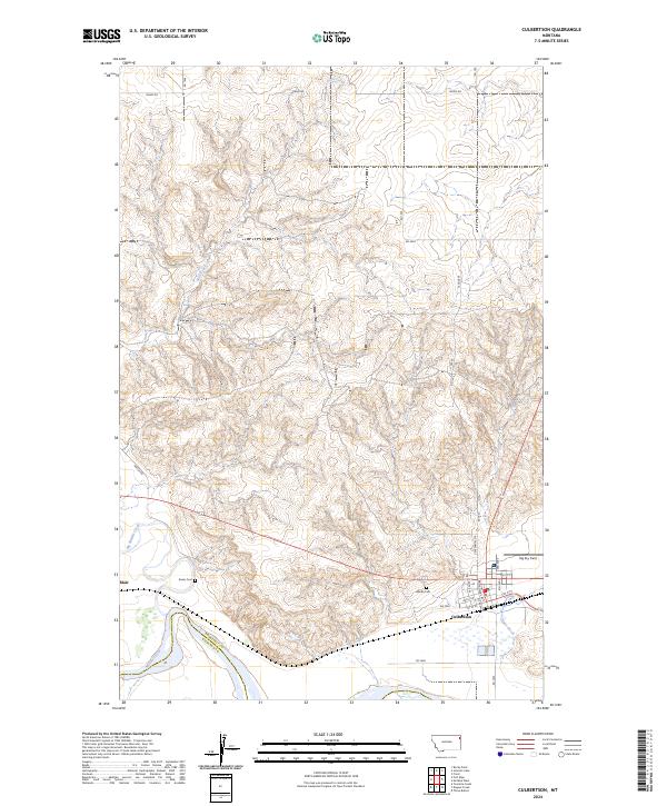
2024 Map of Culbertson
USGS Topo · Published 2024About this map
The Missouri River defines the southern reach of this northeastern Montana landscape, where the Roosevelt Co Richland Co line marks the transition across the river valley. The town of Culbertson serves as the primary hub, showing a grid of streets including Broadway Ave and Centennial Dr, while the smaller settlement of Blair lies further west along the northern bluffs. The terrain is deeply carved by drainage systems like Big Muddy Creek and Scott Creek, which flow toward the Missouri through a network of coulees and ridges.
Find a feature on this map
34 named features on this map. Tap any name to fly to it.
Don’t see what you’re looking for? This feature index may not catch every label — zoom into the map to look around manually.
Map Details
Editions of this 2024 Culbertson Map
This is the sole edition of this map. No revisions or reprints were ever made.
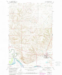
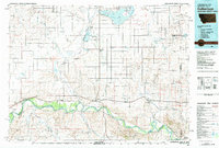
Historical Maps of Fort Kipp District Through Time
3 maps found
Featured Locations
- Roosevelt County, MT
- Fort Kipp District, MT
- Culbertson, MT
- Averill, Culbertson
- Walker Mobile Home Park, Culbertson