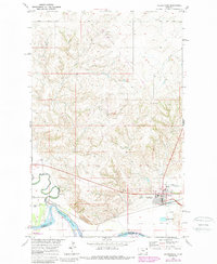
1969 Map of Culbertson
USGS Topo · Published 1989About this map
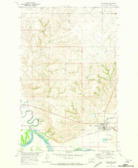
Culbertson serves as the primary hub on this Missouri River terrace, positioned where the river valley meets the upland plains of Northeast Montana. The landscape is defined by the sharp transition between the irrigated bottomlands of the Missouri River and the undulating breaks carved by Big Muddy Creek and Scott Creek. The area holds significant local history markers, including the Bauer Cem and Hillside Cem, alongside community landmarks like the Rodeo Ground and Athletic Field.
Find a feature on this map
21 named features on this map. Tap any name to fly to it.
Don’t see what you’re looking for? This feature index may not catch every label — zoom into the map to look around manually.
Map Details
Editions of this 1969 Culbertson Map
2 editions found
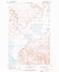
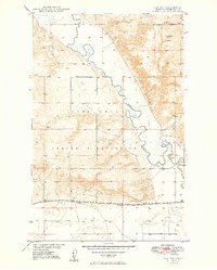
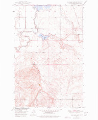
Other maps of this area

1914 · Homestead
USGS Topo · 1:62,500
1947 · Rocky Point
USGS Topo · 1:24,000

1948 · Rocky Point
USGS Topo · 1:24,000

1948 · Fort Kipp
USGS Topo · 1:24,000
1949 · Fort Kipp
USGS Topo · 1:24,000
1949 · Johnson Lake
USGS Topo · 1:24,000

1950 · Johnson Lake
USGS Topo · 1:24,000

1954 · Wolf Point
USGS Topo · 1:250,000

1958 · Wolf Point
USGS Topo · 1:250,000
1969 · Culbertson
USGS Topo · 1:24,000
Featured Places
- Culbertson, MT
- Fort Kipp District, MT
- Walker Mobile Home Park, Culbertson
- Averill, Culbertson
- Richland County, MT