Loading...
Loading map...2024 Map of Cumberland Center
USGS Topo · Published 2024About this map
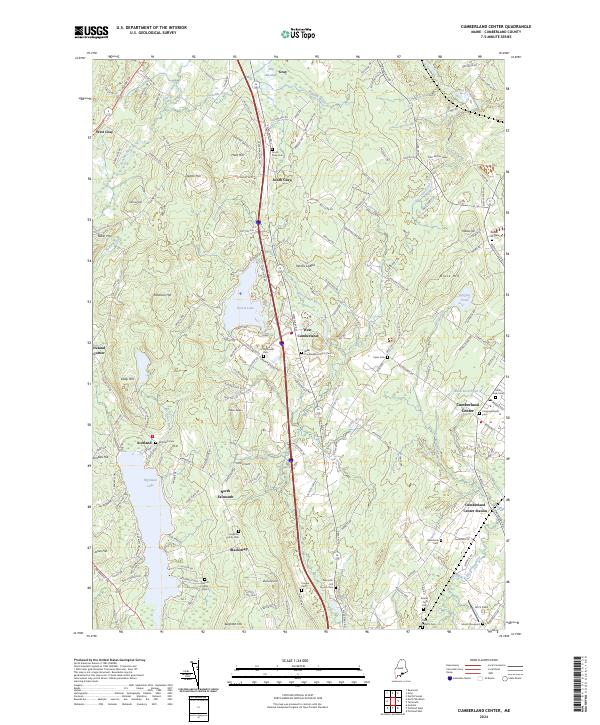
Highland Lake and Forest Lake anchor this portion of Cumberland County, where the landscape transitions from the residential outskirts of Cumberland Center to the more dispersed settlements of North Falmouth and West Cumberland. The map reveals a high density of ancestral burial sites, including family-specific locations like the Huston Family Cem and Leighton Family Cem, alongside larger community grounds such as the West Cumberland Church Cem and Moss Side Cem.
Find a feature on this map
172 named features on this map. Tap any name to fly to it.
Don’t see what you’re looking for? This feature index may not catch every label — zoom into the map to look around manually.
Map Details
Date Portrayed2024
Date Published2024
PublisherU.S. Geological Survey
Map TypeTopographic
Scale1:24000
Physical Dimensions24 x 29 inches
Editions of this 2024 Cumberland Center Map
This is the sole edition of this map. No revisions or reprints were ever made.
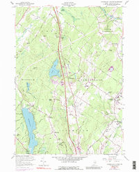
Historical Maps of Falmouth Through Time
Featured Locations
Source Details
SourceU.S. Geological Survey
CopyrightPublic Domain