Loading...
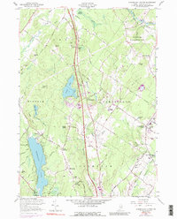
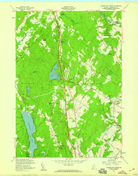
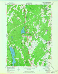
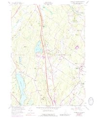
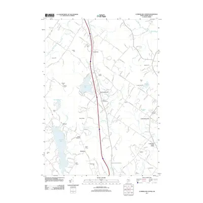
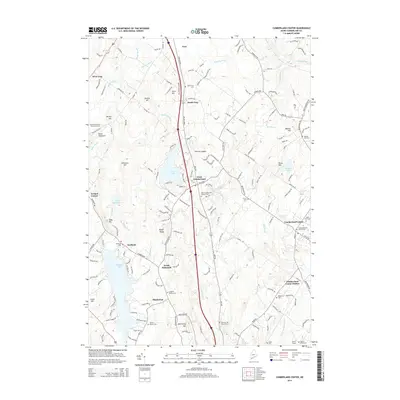
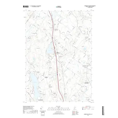
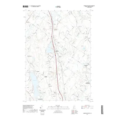
Loading map...1957 Map of Cumberland Center
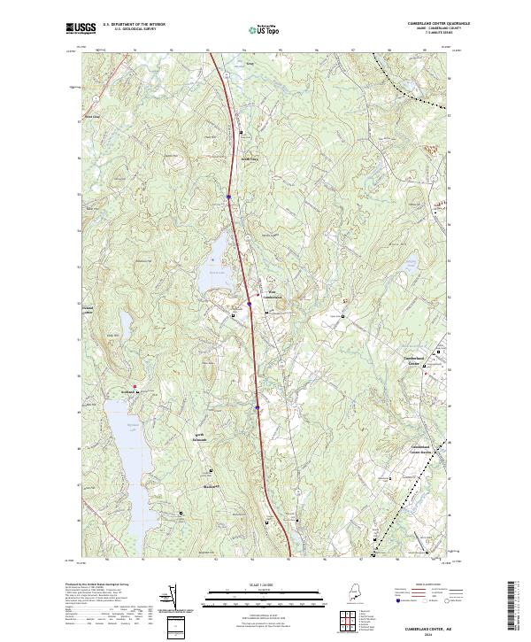
USGS Topo · Published 1989About this map
Cumberland Center and its surrounding townships reflect a transition from traditional agricultural life to a mid-century transportation corridor. The Maine Turnpike (Toll Road) cuts a modern line through the landscape, contrasting with the established Maine Central railroad and the Old Railroad Grade near North Yarmouth. Cultural hubs like the Cumberland Farmers Club and educational sites such as the Greeley Institute and Sweetser Sch anchor the local community.
Find a feature on this map
76 named features on this map. Tap any name to fly to it.
Don’t see what you’re looking for? This feature index may not catch every label — zoom into the map to look around manually.
Map Details
Date Portrayed1957
Date Published1989
PublisherU.S. Geological Survey
Map TypeTopographic
Scale1:24,000
Physical Dimensions21.5 x 26.7 inches
Editions of this 1957 Cumberland Center Map
4 editions found
Historical Maps of Westbrook Through Time
6 maps found
Featured Locations
Source Details
SourceU.S. Geological Survey
CopyrightPublic Domain