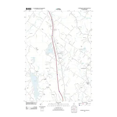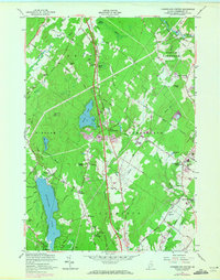
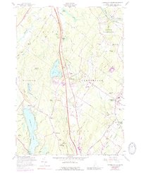
1957 Map of Cumberland Center
USGS Topo · Published 1971About this map
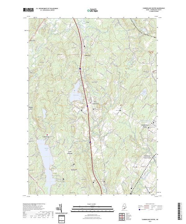
Cumberland Center and North Yarmouth serve as the primary hubs in this mid-century portrait of southern Maine's coastal interior. The landscape is defined by the Maine Central Railroad and the Maine Turnpike cutting through the woodlands, marking the era's transition toward faster regional transit. Notable civic landmarks such as the Greeley Institute, Sweetser Sch, and the Cumberland Farmers Club reflect the settled community life of the time. The terrain is notably high in the west near Atherton Hill Lookout Tower and Blackstrap Hill, with the waters of Highland Lake and the Piscataqua River framing the valleys. Numerous family-named roads and sites like Verrills Ledges and the Blanchard Cem provide valuable touchpoints for local historians and genealogists tracing the growth of Cumberland and Falmouth.
Find a feature on this map
75 named features on this map. Tap any name to fly to it.
Don’t see what you’re looking for? This feature index may not catch every label — zoom into the map to look around manually.
Map Details
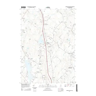
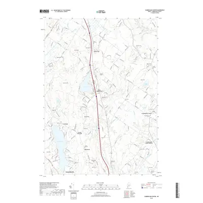
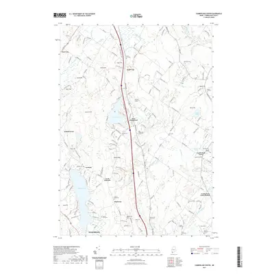
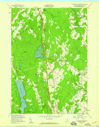
Editions of this 1957 Cumberland Center Map
4 editions found
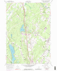
Historical Maps of Westbrook Through Time
6 maps found