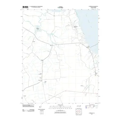
2010 Map of Currituck
USGS Topo · Published 2010About this map
The North Landing River and Tull Bay define the northeastern reaches of this coastal North Carolina landscape, where the flat lowlands of Currituck County meet the water. At the heart of the region, Currituck serves as a focal point, supported by the Currituck Post Office near the riverbank. The map reveals a pattern of agricultural drainage and small-scale aviation, evidenced by the Currituck County Airport and the private Ferebee Landing Strip located south of Shawboro.
Find a feature on this map
54 named features on this map. Tap any name to fly to it.
Don’t see what you’re looking for? This feature index may not catch every label — zoom into the map to look around manually.
Map Details
Editions of this 2010 Currituck Map
This is the sole edition of this map. No revisions or reprints were ever made.
Other maps of this area

1893 · Virginia Beach
USGS Topo · 1:125,000

1916 · Back Bay
USGS Topo · 1:62,500

1939 · Moyock
USGS Topo · 1:62,500

1940 · Barco
USGS Topo · 1:62,500

1943 · Back Bay
USGS Topo · 1:62,500

1946 · Moyock
USGS Topo · 1:62,500

1946 · Eastville
USGS Topo · 1:250,000

1946 · Currituck Sound
USGS Topo · 1:250,000

1948 · Elizabeth City
USGS Topo · 1:62,500

1953 · Norfolk
USGS Topo · 1:250,000