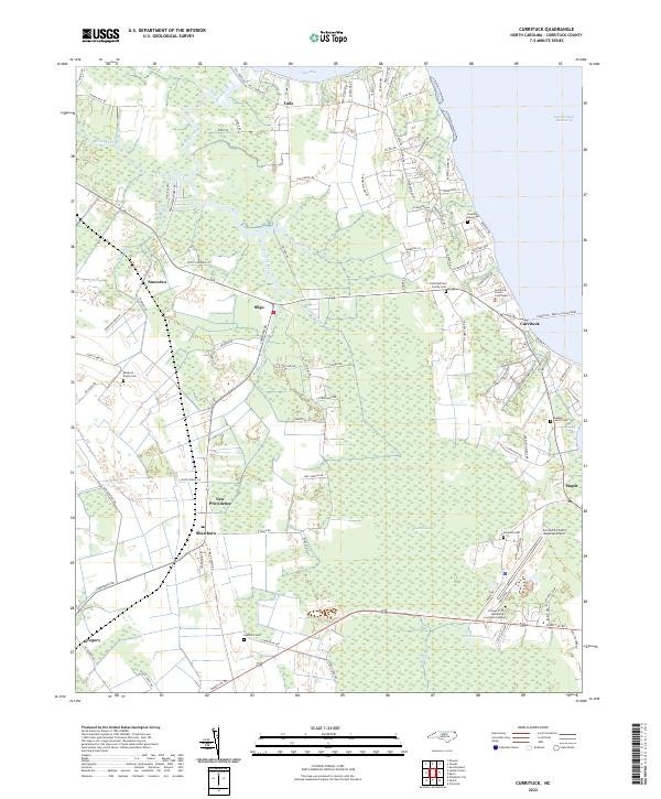
2022 Map of Currituck
USGS Topo · Published 2022About this map
The Intracoastal Waterway and the expansive wetlands of Black Swamp and Great Swamp define the coastal character of this corner of northeastern North Carolina. Small communities such as Sligo, Shawboro, and Gregory are linked by a network of local roads that navigate around the fingers of Tull Creek and Tull Bay. As the county seat, Currituck serves as a vital transit point, anchored by the Currituck County Courthouse and the Currituck - Knotts Island Ferry crossing.
Find a feature on this map
101 named features on this map. Tap any name to fly to it.
Don’t see what you’re looking for? This feature index may not catch every label — zoom into the map to look around manually.
Map Details
Editions of this 2022 Currituck Map
This is the sole edition of this map. No revisions or reprints were ever made.
Other maps of this area

1893 · Virginia Beach
USGS Topo · 1:125,000

1916 · Back Bay
USGS Topo · 1:62,500

1939 · Moyock
USGS Topo · 1:62,500

1940 · Barco
USGS Topo · 1:62,500

1943 · Back Bay
USGS Topo · 1:62,500

1946 · Moyock
USGS Topo · 1:62,500

1946 · Eastville
USGS Topo · 1:250,000

1946 · Currituck Sound
USGS Topo · 1:250,000

1948 · Elizabeth City
USGS Topo · 1:62,500

1953 · Norfolk
USGS Topo · 1:250,000