2023 Map of Curtisville
USGS Topo · Published 2023About this map
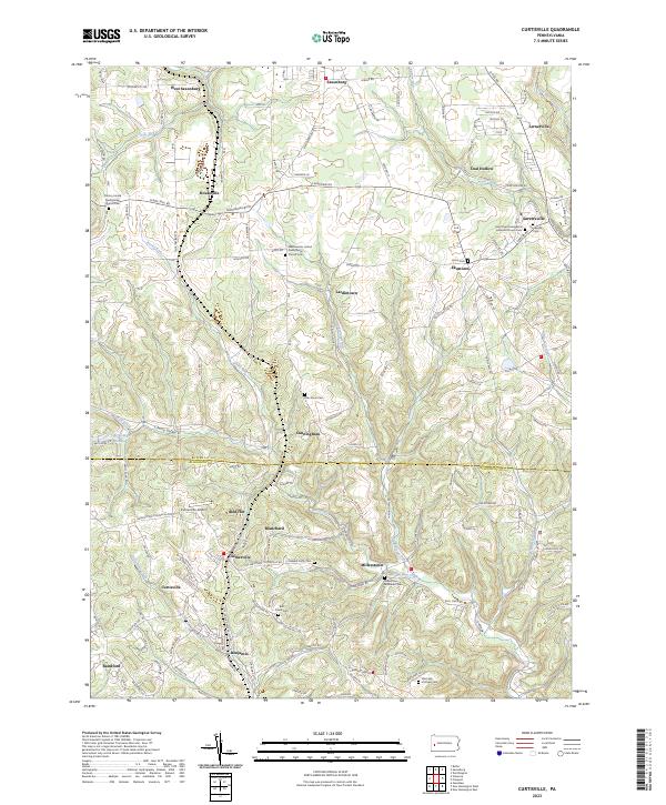
Curtisville and the surrounding borderlands of Butler Co and Allegheny Co are defined by a dense network of small settlements and rural cemeteries. The landscape is carved by numerous waterways, including Little Buffalo Creek in the north and the winding course of Bull Creek near Millerstown. This 2023 edition documents the modern layout of crossroads communities like Culmerville, Ekastown, and Sarversville, many of which maintain their identity through long-standing local institutions. Religious and genealogical history is prominent, with sites such as the Saint Pauls Evangelical Lutheran Church and several family or community burial grounds including Oak Grove Cem and Sarversville Cem. The presence of the Culmerville Airport north of Red Hot indicates the integration of aviation into this traditional agricultural and residential corridor, while the naming of places like Coal Hollow and Lardintown preserves the memory of earlier industrial and settlement patterns in this part of Western Pennsylvania.
Find a feature on this map
155 named features on this map. Tap any name to fly to it.
Don’t see what you’re looking for? This feature index may not catch every label — zoom into the map to look around manually.
Map Details
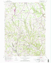
Editions of this 2023 Curtisville Map
This is the sole edition of this map. No revisions or reprints were ever made.
Historical Maps of Millerstown Through Time
Featured Locations
- Clinton Township, PA
- Jefferson Township, PA
- Curtisville, West Deer Township
- Lernerville, Buffalo Township
- Sarversville, Buffalo Township