Loading...
Loading map...2023 Map of Cutlerville
USGS Topo · Published 2023About this map
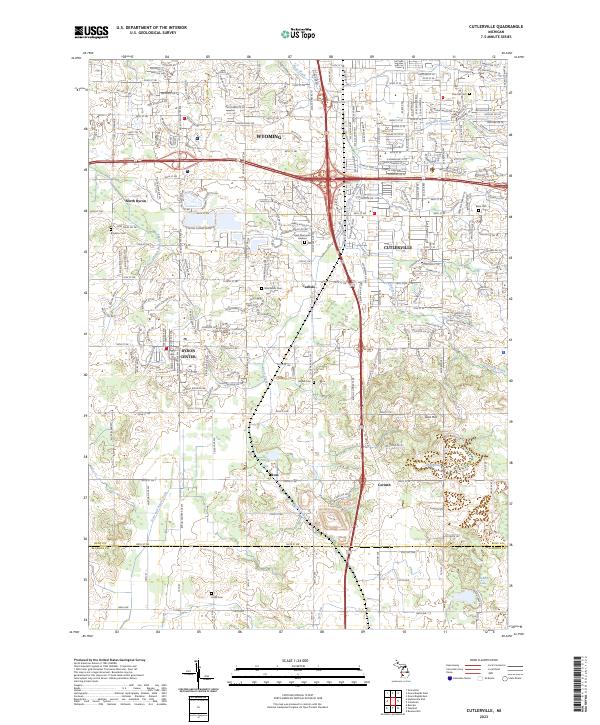
Byron Center and Cutlerville anchor this modern landscape south of Wyoming, where the suburban grid of the Grand Rapids area meets the agricultural transition toward the Kent-Allegan county line. The map reveals a dense network of residential development interspersed with small water bodies like Hilton Lake and Orissa Lake, alongside the prominent Kent Memorial Gardens.
Find a feature on this map
66 named features on this map. Tap any name to fly to it.
Don’t see what you’re looking for? This feature index may not catch every label — zoom into the map to look around manually.
Map Details
Date Portrayed2023
Date Published2023
PublisherU.S. Geological Survey
Map TypeTopographic
Scale1:24000
Physical Dimensions24 x 29 inches
Editions of this 2023 Cutlerville Map
This is the sole edition of this map. No revisions or reprints were ever made.
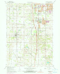
Historical Maps of Kentwood Through Time
Featured Locations
Source Details
SourceU.S. Geological Survey
CopyrightPublic Domain