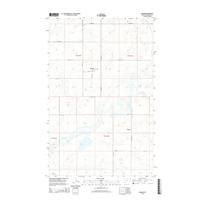
2014 Map of Dagmar
USGS Topo · Published 2014About this map
Dagmar and Volmer anchor this high plains landscape in Sheridan County, defined by a distinct cluster of glacial kettle lakes and a rigid grid of rural roads. The settlement at Dagmar is concentrated around the intersection of Lodahl St and Central Ave, while the surrounding prairie is dotted with water bodies including Katy Lake, Long Lake, and Mallard Pond. The geography reflects the agrarian character of northeast Montana, where local navigation is guided by descriptive family and community names such as Volmer Church Rd, Bergiers Lake Rd, and Brotherhood Hall Rd. The presence of a Po in Dagmar indicates its role as a local service point. Meandering through the northern and southern reaches of the quadrangle, Lake Creek provides the primary drainage for this pothole region, contrasting with the straight lines of the E Reserve Hwy and other section-line roads.
Find a feature on this map
26 named features on this map. Tap any name to fly to it.
Don’t see what you’re looking for? This feature index may not catch every label — zoom into the map to look around manually.
Map Details
Editions of this 2014 Dagmar Map
This is the sole edition of this map. No revisions or reprints were ever made.
Other maps of this area

1946 · Brush Lake
USGS Topo · 1:24,000

1946 · Dagmar
USGS Topo · 1:24,000

1947 · Capeneys Lake
USGS Topo · 1:24,000

1948 · Capeneys Lake
USGS Topo · 1:24,000

1948 · Dagmar
USGS Topo · 1:24,000

1948 · Brush Lake
USGS Topo · 1:24,000

1948 · Reserve SE
USGS Topo · 1:24,000

1948 · Sunnyhill School
USGS Topo · 1:24,000

1949 · Reserve SE
USGS Topo · 1:24,000

1949 · Sunnyhill School
USGS Topo · 1:24,000