2024 Map of Dallas City
USGS Topo · Published 2024About this map
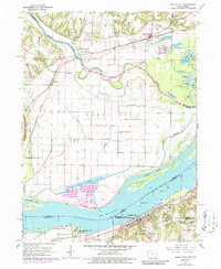
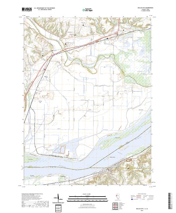
Dallas City and Pontoosuc anchor the Illinois bank of the Mississippi River in this modern survey, which details a landscape shaped by the convergence of the Skunk River and the Great River. The intricate hydrography of the river valley is evident through features like Dallas Island, Grape Island, and numerous backwater bodies including Patterson Lake and Roscum Pond. For genealogists, the map is remarkably dense with burial sites, showing private and community locations such as the Miller Family Plot, Mohinke Cem, and South Walker Cem. Agricultural drainage is reflected in the systematic engineering of Rogers Ditch and Old Township Ditch, while the higher ground is marked by named elevations like Jollyville Hill and The Ridge.
Find a feature on this map
74 named features on this map. Tap any name to fly to it.
Don’t see what you’re looking for? This feature index may not catch every label — zoom into the map to look around manually.
Map Details
Editions of this 2024 Dallas City Map
This is the sole edition of this map. No revisions or reprints were ever made.