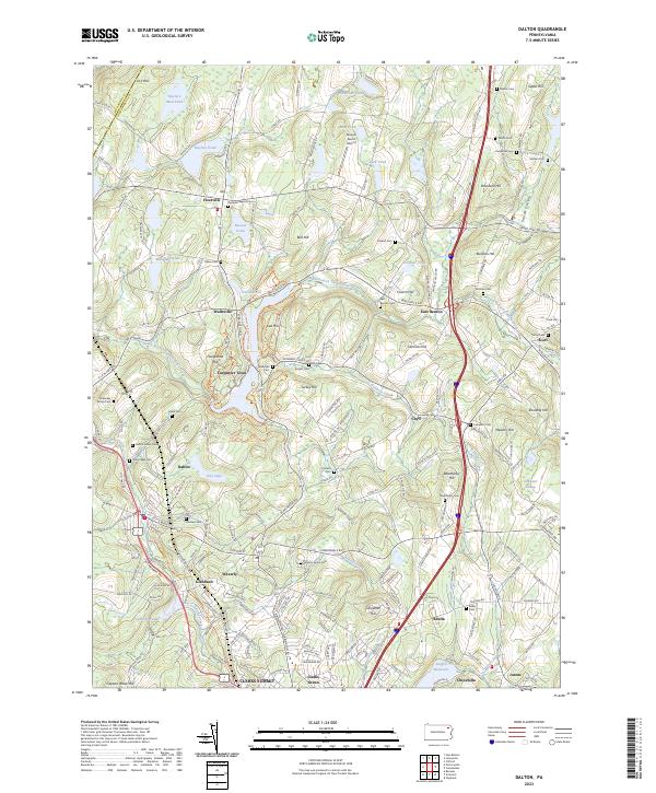
2023 Map of Dalton
USGS Topo · Published 2023About this map
The Wyoming Co and Lackawanna Co border divides a landscape defined by rolling glacial topography and clustered residential growth. Dalton and Clarks Green serve as central nodes for the region's suburban character, while smaller settlements like Fleetville and Carpenter Town maintain a more rural footprint. The area's complex burial history is evident in numerous small sites such as the Dreischer Family Cem, Dalton Jewish Cem, and Fleetville Baptist Cem, offering significant value for genealogical research.
Find a feature on this map
219 named features on this map. Tap any name to fly to it.
Don’t see what you’re looking for? This feature index may not catch every label — zoom into the map to look around manually.
Map Details
Editions of this 2023 Dalton Map
This is the sole edition of this map. No revisions or reprints were ever made.
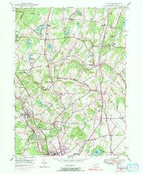
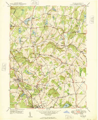
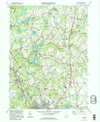
Historical Maps of Greenfield Township Through Time
4 maps found