Loading...
Loading map...2022 Map of Danville
USGS Topo · Published 2022About this map
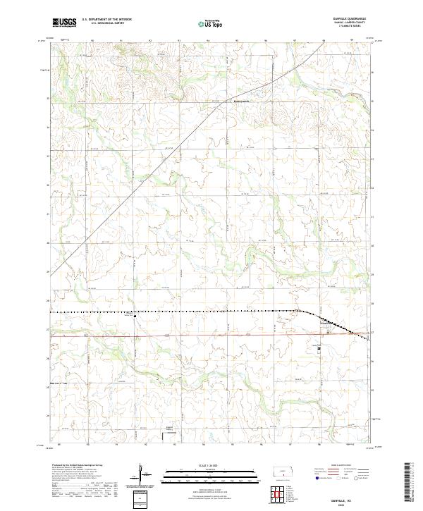
Danville and Runnymede anchor this agricultural landscape in northeastern Harper County, where the terrain is defined by the dendritic drainage patterns of Spring Cr and Sand Cr. The layout follows a rigid section-line grid of rural roads, including Ne 150 RD and Ne 60 Ave, which partition the prairie into large agricultural tracts. This 2022 survey captures the modern rural infrastructure, including the small landing strip at Kaypod Airport south of the main settlements.
Find a feature on this map
27 named features on this map. Tap any name to fly to it.
Don’t see what you’re looking for? This feature index may not catch every label — zoom into the map to look around manually.
Map Details
Date Portrayed2022
Date Published2022
PublisherU.S. Geological Survey
Map TypeTopographic
Scale1:24000
Physical Dimensions24 x 29 inches
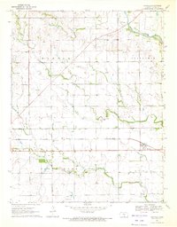
Editions of this 2022 Danville Map
This is the sole edition of this map. No revisions or reprints were ever made.
Historical Maps of Harper County Through Time
Featured Locations
Source Details
SourceU.S. Geological Survey
CopyrightPublic Domain