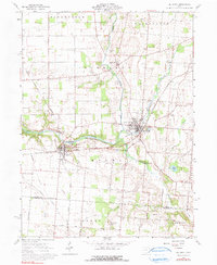
2023 Map of De Graff
USGS Topo · Published 2023About this map
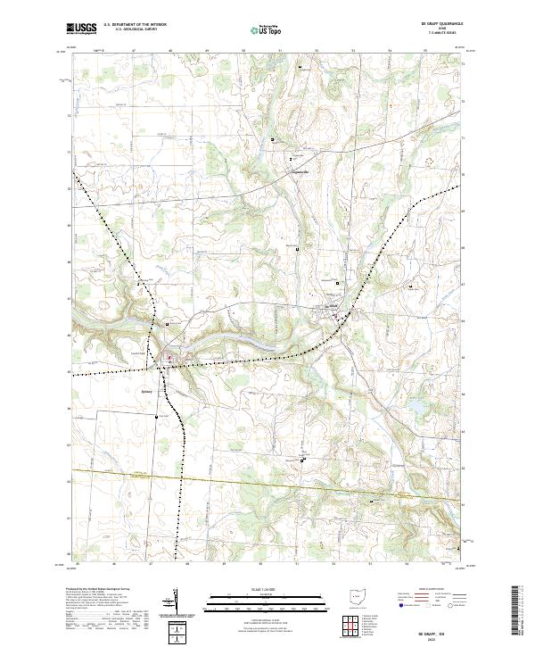
The Great Miami River winds through the heart of this Logan County landscape, serving as the geographic anchor for the neighboring villages of De Graff and Quincy. This 2023 survey illustrates the dense concentration of pioneer-era burial sites and rural intersections that define the region's heritage. Genealogists will find a high density of named cemeteries including Greenwood Cem near De Graff, Logansville Cem to the north, and Olive Chapel Cem further south. The map documents the intricate network of township and county roads, such as Co Hwy 63 and Twp Hwy 141, which connect smaller settlements like Logansville to the surrounding farmland. Waterways including Bokengehalas Creek, Stony Creek, and Lee Creek create a complex drainage pattern that has historically shaped the agricultural development and road placement throughout the area.
Find a feature on this map
87 named features on this map. Tap any name to fly to it.
Don’t see what you’re looking for? This feature index may not catch every label — zoom into the map to look around manually.
Map Details
Editions of this 2023 De Graff Map
This is the sole edition of this map. No revisions or reprints were ever made.