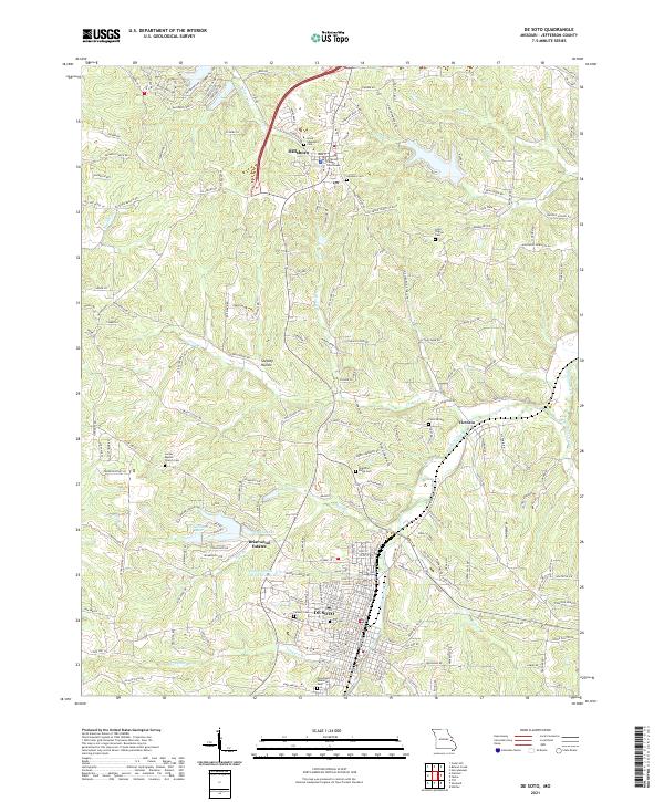
2021 Map of De Soto
USGS Topo · Published 2021About this map
Hillsboro serves as a prominent focal point in this Jefferson County landscape, anchored by the Jefferson County Courthouse and a cluster of local history sites including Good Shepherd Cem and Hillsboro Cem. The terrain is defined by the winding course of Joachim Creek and its various tributaries like Murrill Br and Fisher Br. The southern portion of the map is dominated by the grid of De Soto, where urban development meets natural features like Tanyard Br and the green space of Woodlawn Memorial Park.
Find a feature on this map
197 named features on this map. Tap any name to fly to it.
Don’t see what you’re looking for? This feature index may not catch every label — zoom into the map to look around manually.
Map Details
Editions of this 2021 De Soto Map
This is the sole edition of this map. No revisions or reprints were ever made.
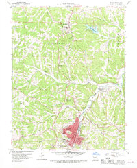
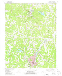
Historical Maps of Joachim Township Through Time
3 maps found
Featured Locations
- Central Township, MO
- Joachim Township, MO
- Hillsboro, Central Township
- Victoria, Central Township
- De Soto, Valle Township