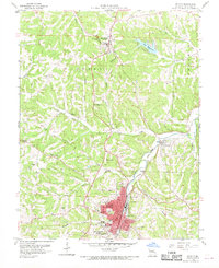
1960 Map of De Soto
USGS Topo · Published 1969About this map
The rail and river geography of Jefferson County comes into focus in this mid-century topographic study, centered on the growing community of De Soto. The town is bisected by the Missouri Pacific railroad, reflecting its long history as a hub for transportation and transit. To the north, the county seat of Hillsboro sits near the headwaters of Belew Creek, while the planned recreational waters of Lake Wauwanoka define the northeastern landscape. The terrain is deeply carved by the Joachim Creek and its many tributaries like Fritz Creek and Cotter Creek, creating a network of ridges and hollows that shaped the placement of local landmarks. Genealogical and local history points of interest are numerous, including Mt St Clements College, the Oak Ridge Ch, and several rural burial sites such as the Victoria Cem and Good Shepherd Cem.
Find a feature on this map
43 named features on this map. Tap any name to fly to it.
Don’t see what you’re looking for? This feature index may not catch every label — zoom into the map to look around manually.
Map Details
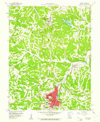
Editions of this 1960 De Soto Map
2 editions found
Other maps of this area

1901 · De Soto
USGS Topo · 1:125,000

1912 · Kimmswick
USGS Topo · 1:62,500

1915 · Crystal City
USGS Topo · 1:62,500

1916 · Kimmswick
USGS Topo · 1:62,500

1930 · De Soto NE
USGS Topo · 1:24,000

1930 · Pacific SE
USGS Topo · 1:24,000

1931 · De Soto SE
USGS Topo · 1:24,000

1937 · Fletcher
USGS Topo · 1:24,000

1937 · Tiff
USGS Topo · 1:24,000

1938 · Cedar Hill
USGS Topo · 1:24,000