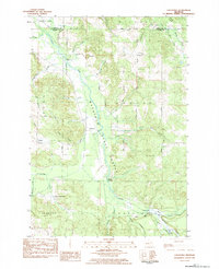
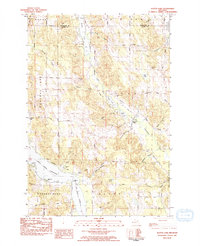
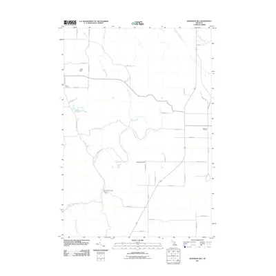
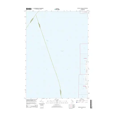
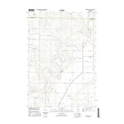
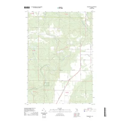
1986 Map of Deadmans Hill
USGS Topo · Published 1986About this map
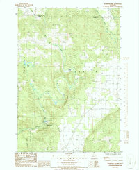
Mackinaw State Forest dominates this northern Michigan landscape, where the high point of Deadmans Hill provides a vantage over the winding Jordan River valley. The map documents a rural transition as of the mid-1980s, marked by the presence of a Dismantled RR and an Old RR Gr, traces of former timber or industrial transport. Near the river's path, the Jordan River National Fish Hatchery stands as a significant facility within the valley floor. To the south, the edge of Elmira and a lone Cem reflect the sparse human settlement amidst a network of creeks like Warner Creek and Eaton Creek. This survey captures a region balancing conservation and utility, evidenced by the Scenic Overlook and Roadside Park alongside active infrastructure like a Landing Strip and Gravel Pit.
Find a feature on this map
29 named features on this map. Tap any name to fly to it.
Don’t see what you’re looking for? This feature index may not catch every label — zoom into the map to look around manually.
Map Details
Editions of this 1986 Deadmans Hill Map
This is the sole edition of this map. No revisions or reprints were ever made.
Historical Maps of Boyne Valley Township Through Time
36 maps found
1975 Mancelona NE
Antrim County, MI
1975 Mancelona NW
Antrim County, MI
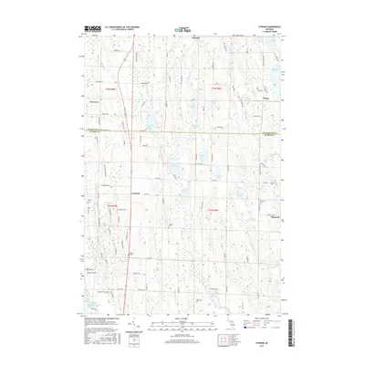
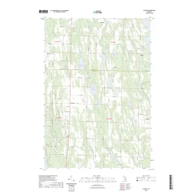
1983 Atwood
Antrim County, MI
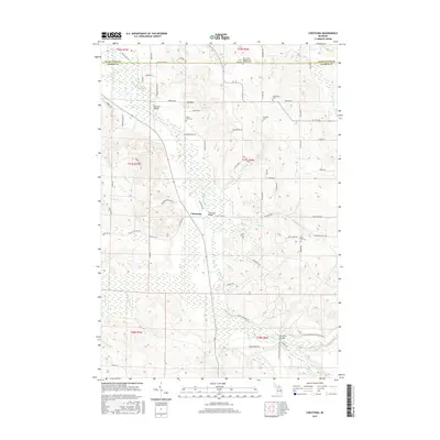
1983 Chestonia
Antrim County, MI
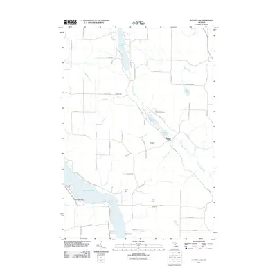
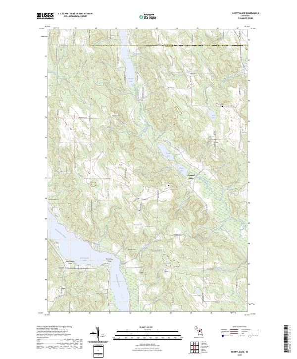
1983 Scotts Lake
Antrim County, MI
1986 Deadmans Hill
Antrim County, MI
2011 Atwood
Antrim County, MI

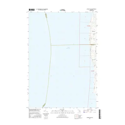
2011 Atwood OE W
Antrim County, MI

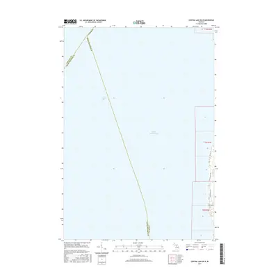
2011 Central Lake OE W
Antrim County, MI
2011 Chestonia
Antrim County, MI
2011 Deadmans Hill
Antrim County, MI
2011 Scotts Lake
Antrim County, MI
2014 Atwood
Antrim County, MI
2014 Atwood OE W
Antrim County, MI
2014 Central Lake OE W
Antrim County, MI
2014 Chestonia
Antrim County, MI
2014 Deadmans Hill
Antrim County, MI
2014 Scotts Lake
Antrim County, MI
2017 Atwood
Antrim County, MI
2017 Atwood OE W
Antrim County, MI
2017 Central Lake OE W
Antrim County, MI
2017 Chestonia
Antrim County, MI
2017 Deadmans Hill
Antrim County, MI
2017 Scotts Lake
Antrim County, MI
2019 Atwood
Antrim County, MI
2019 Atwood OE W
Antrim County, MI
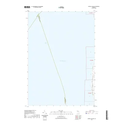
2019 Central Lake OE W
Antrim County, MI
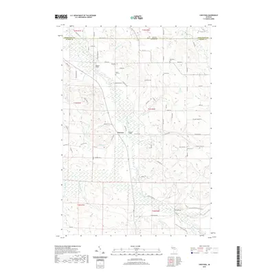
2019 Chestonia
Antrim County, MI
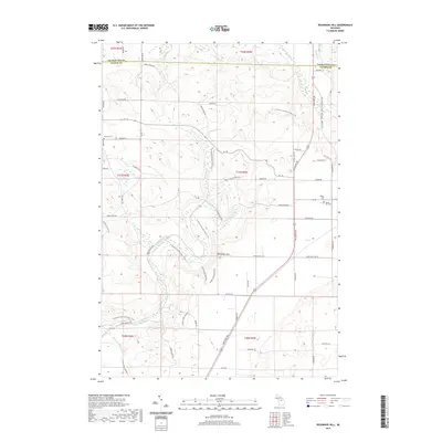
2019 Deadmans Hill
Antrim County, MI
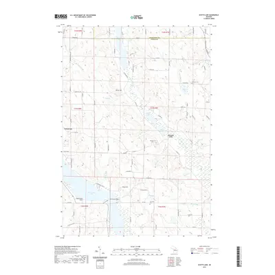
2019 Scotts Lake
Antrim County, MI
2023 Atwood
Antrim County, MI
2023 Atwood OE W
Antrim County, MI
2023 Central Lake OE W
Antrim County, MI

2023 Chestonia
Antrim County, MI
2023 Deadmans Hill
Antrim County, MI
2023 Scotts Lake
Antrim County, MI
Featured Locations
- Wilson Township, MI
- Boyne Valley Township, MI
- Warner Township, MI
- Chestonia Township, MI
- Jordan Township, MI