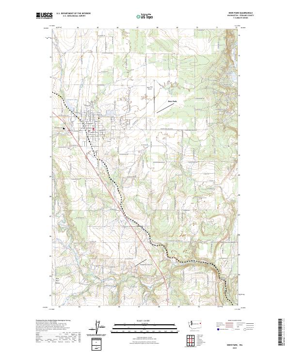
Loading...
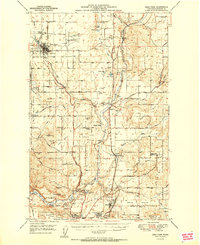
Loading map...1951 Map of Deer Park
USGS Topo · Published 1951About this map
Deer Park serves as the primary hub of this 1951 landscape, centered north of Spokane and characterized by its sprawling agricultural prairies. The region is defined by distinct geographic plateaus including Wild Rose Prairie, Half Moon Prairie, and Peone Prairie. Notable industrial and infrastructure developments of the era are evident, such as the large Aluminum Reduction Plant near Mead and the Deer Park Municipal Airport.
Find a feature on this map
63 named features on this map. Tap any name to fly to it.
Don’t see what you’re looking for? This feature index may not catch every label — zoom into the map to look around manually.
Map Details
Date Portrayed1951
Date Published1951
PublisherU.S. Geological Survey
Map TypeTopographic
Scale1:62500
Physical Dimensions17 x 20.9 inches
Editions of this 1951 Deer Park Map
This is the sole edition of this map. No revisions or reprints were ever made.
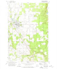
Historical Maps of Spokane County Through Time
4 maps found

Featured Locations
Source Details
SourceU.S. Geological Survey
CopyrightPublic Domain