Loading...
Loading map...2022 Map of Deerfield
USGS Topo · Published 2022About this map
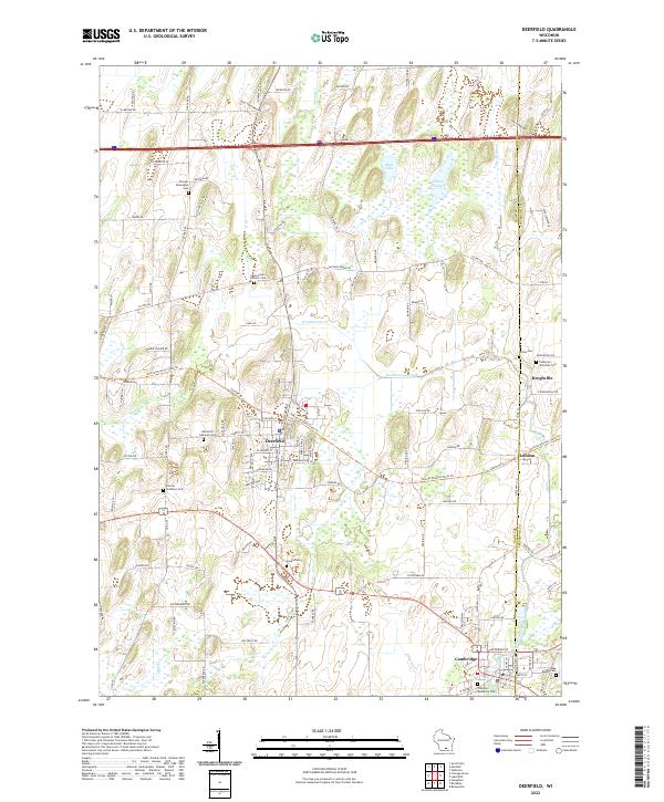
The village of Deerfield sits at the heart of this landscape, where the Glacial Drumlin State Trail cuts through the terrain on a former railroad grade. The map illustrates a region rich in pioneer history, evidenced by numerous small burying grounds such as the Pioneer Norwegian Cemetery and Liberty Lutheran Cemetery. These sites, along with the Saint Anne's Catholic Cemetery, speak to the early ethnic settlement patterns of the Dane and Jefferson County borderlands.
Find a feature on this map
118 named features on this map. Tap any name to fly to it.
Don’t see what you’re looking for? This feature index may not catch every label — zoom into the map to look around manually.
Map Details
Date Portrayed2022
Date Published2022
PublisherU.S. Geological Survey
Map TypeTopographic
Scale1:24000
Physical Dimensions24 x 29 inches
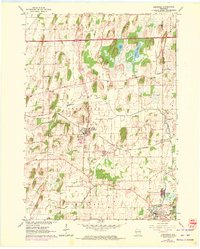
Editions of this 2022 Deerfield Map
This is the sole edition of this map. No revisions or reprints were ever made.
Historical Maps of Jefferson County Through Time
Featured Locations
Source Details
SourceU.S. Geological Survey
CopyrightPublic Domain