2021 Map of Del Mar
USGS Topo · Published 2021About this map
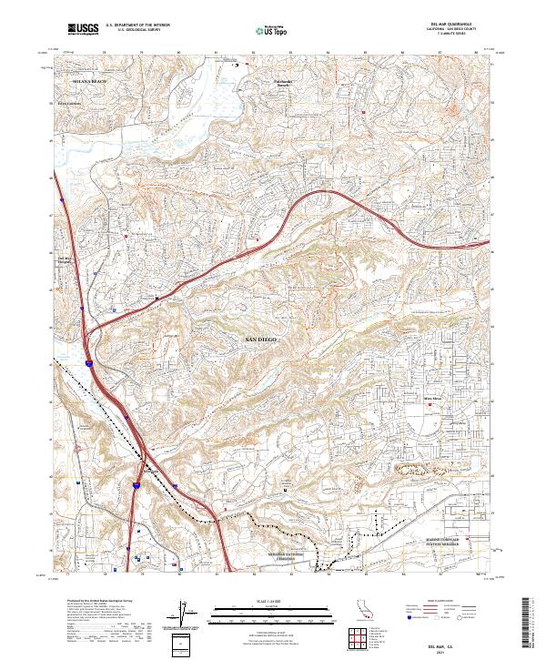
Solana Beach and the planned communities of Fairbanks Ranch and Mira Mesa anchor this 2021 study of the northern San Diego coastal corridor. The landscape is defined by its dramatic relief, where suburban developments sit atop mesas and ridges separated by deep incisions like McGonigle Canyon and Carroll Canyon. The preservation of open space is evident through the extensive networks of the Del Mar Mesa Preserve Trl and the Los Penasquitos Canyon Preserve Trl, which protect the riparian environments of Los Penasquitos Cr. Educational and institutional landmarks, including the University of California San Diego and the Design Institute of San Diego, mark the southern end of the sheet near Sorrento. Historic local identifiers such as Eden Gardens and the Carmel Valley Cem provide grounding for family historians tracking the evolution of these coastal neighborhoods.
Find a feature on this map
47 named features on this map. Tap any name to fly to it.
Don’t see what you’re looking for? This feature index may not catch every label — zoom into the map to look around manually.
Map Details
Editions of this 2021 Del Mar Map
This is the sole edition of this map. No revisions or reprints were ever made.
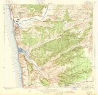
Historical Maps of San Diego Through Time
Featured Locations
- Fairbanks Ranch, CA
- Solana Beach, CA
- San Diego, CA
- Rancho Peñasquitos, San Diego
- Sorrento Valley, San Diego