2024 Map of Dell
USGS Topo · Published 2024About this map
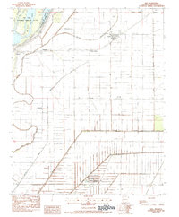
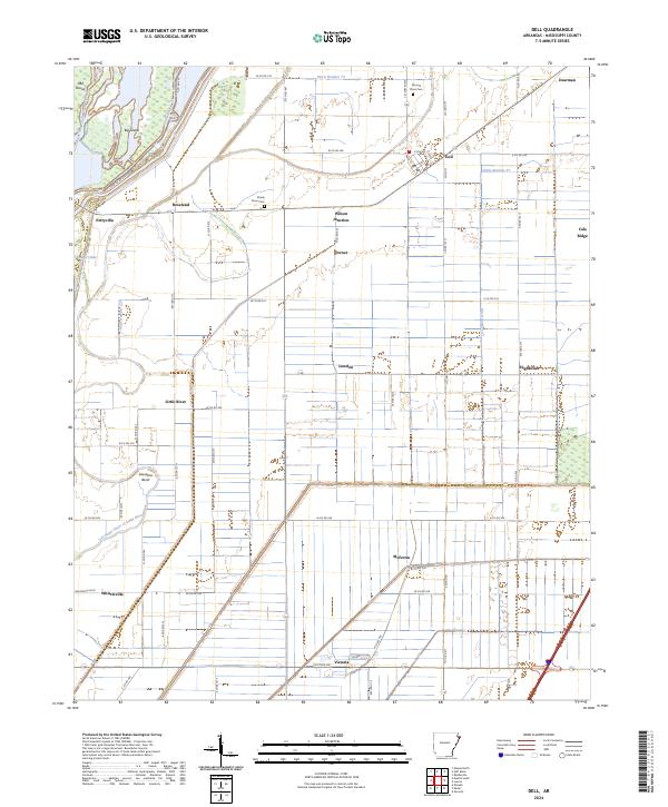
Big Lake National Wildlife Refuge anchors the western edge of this Mississippi County landscape, where the Right Hand Chute Little River and Left Hand Chute of Little River navigate through a terrain marked by former islands such as Oak Island and Big Island. This area of Arkansas is defined by an intricate network of drainage systems, including Ditch Number 73 and Ditch Number 27, which facilitated the agricultural development of the region. The map reveals a dense pattern of small settlements and named junctions, from the town of Dell and the community of Roseland to smaller localities like Pettyville, Lowden, and Whistleville. Family and community history is preserved at the Mound Place Cem and Shady Grove Cem, while the persistent grid of county roads, such as Victoria Rd and Whistleville Rd, connects these rural enclaves and reflects the enduring settlement patterns of the Arkansas Delta.
Find a feature on this map
47 named features on this map. Tap any name to fly to it.
Don’t see what you’re looking for? This feature index may not catch every label — zoom into the map to look around manually.
Map Details
Editions of this 2024 Dell Map
This is the sole edition of this map. No revisions or reprints were ever made.